
Digital twins and new visualisation methods like Gaussian Splats are quickly becoming part of how engineering, construction, environmental, and inspection teams understand real-world sites. They make it easier to review, share, and discuss site information without always being there.
For Convex Geomatics, digital twins and Gaussian Splat workflows are part of a broader move toward richer, more accessible reality capture — combining mobile mapping, drone capture, LiDAR, and modern visualisation methods into deliverables clients can actually use.
What Is a Digital Twin?
A digital twin is a digital representation of a real environment, asset, or site. In a survey and reality-capture context, it usually means a 3D digital version of a physical place that can be reviewed, measured, or analysed remotely.
Digital twins are useful because they let multiple people interact with the same site, even if they were never on it. Engineering teams, environmental teams, project managers, and clients can all work from the same shared spatial information.
What Are Gaussian Splats?
Gaussian Splats are a relatively new technology used to create photorealistic 3D scenes. Instead of building a traditional mesh and texture, they represent a scene as a collection of view-dependent 3D Gaussians — small, colourful, soft particles that together form a rich, realistic 3D view.
Compared to traditional 3D meshes, Gaussian Splats often look more natural and immersive, especially for visual review and presentation. They are quickly becoming popular in industries that need realistic visualisation of real spaces.

Gaussian Splats vs. Traditional 3D Mesh
Both technologies create a 3D representation of reality, but they solve different problems. The right choice depends on whether your team prioritises measurement accuracy or visual realism — and how the deliverable will be used.
| Feature | Traditional 3D Mesh | Gaussian Splat |
|---|---|---|
| Photorealism | Good (texture-mapped surface) | Excellent (view-dependent) |
| Typical training time | 2–8 hours | 30–60 minutes |
| Browser viewing | Heavy (large OBJ / FBX files) | Lightweight (web-native viewer) |
| Measurements | Survey-grade geometry | Limited — visualisation layer |
| CAD / GIS export | Yes (DWG, OBJ, GLB) | Not directly |
| Best for | Engineering & measurement | Visualisation & remote review |
In many real-world projects, the strongest workflow is to use both — a survey-grade mesh or point cloud for measurement and CAD work, plus a Gaussian Splat layer for stakeholder communication and remote site review. For deeper context on mesh-based deliverables, see our High-Resolution 3D Mesh Models article.
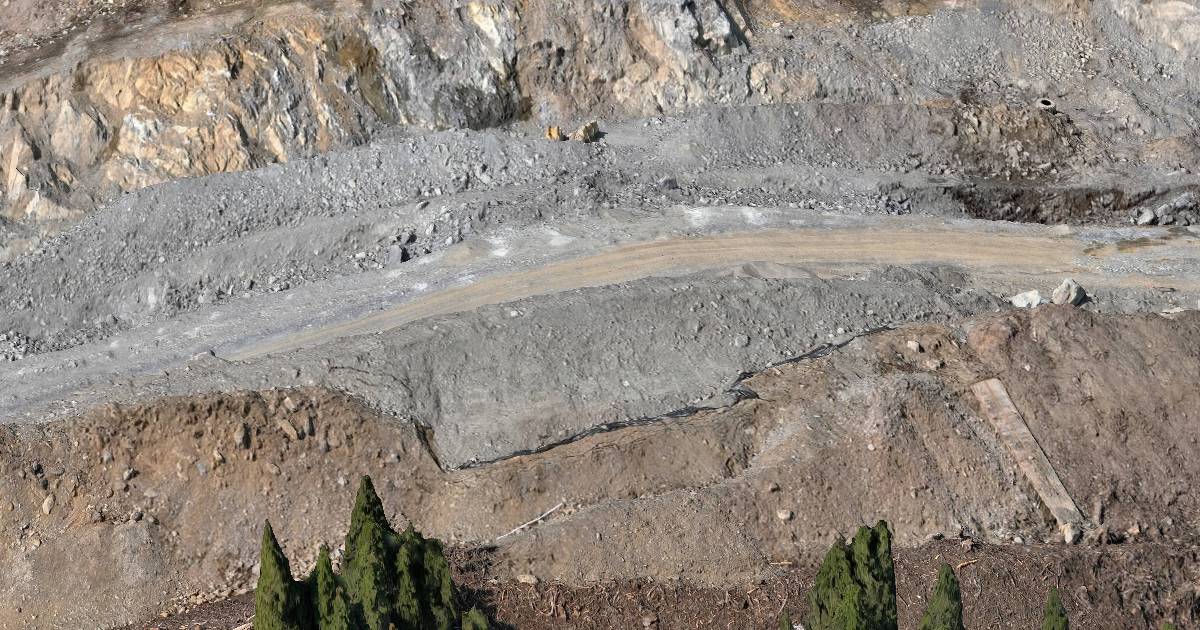
How the Data Can Be Collected
Digital twins and Gaussian Splat scenes are not produced from a single tool. They are built from real-world data captured using a combination of methods.
Drone Capture
- excellent for larger outdoor sites
- strong overhead and oblique imagery
- fast site coverage (see our LiDAR vs Photogrammetry comparison for choosing between methods)
Mobile LiDAR Mapping
- ideal for roads, corridors, industrial sites, and large linear environments
- captures continuous data efficiently from a moving platform
- especially valuable for digital twin workflows that benefit from rich, sequential imagery
Handheld or Ground-Based Capture
- useful indoors or in tighter spaces
- helps reach areas drones and vehicles cannot
- often used to fill in details or to support facility documentation
LiDAR + Imagery Combined
- strong option when geometry and visual realism are both important
- creates a complete and accurate base for digital twin deliverables
- see Not All LiDAR Services Are Equal for what separates a good LiDAR provider from a bad one
At Convex Geomatics, we routinely combine these methods, depending on the project and the type of deliverable required.
Why Mobile LiDAR Mapping Is a Major Part of This Workflow
Mobile mapping is one of the most efficient ways to collect rich 3D and image data across larger areas. It is especially well suited to:
- roads and transport corridors
- industrial yards and facility surroundings
- pipeline access and right-of-way conditions
- urban infrastructure environments
- large building exteriors and complexes
Because the platform moves continuously through the environment, mobile mapping captures a strong amount of imagery and spatial data quickly. This is exactly the type of data that supports rich digital twin and Gaussian Splat deliverables.

How Industries Can Use These Deliverables
Digital twins and Gaussian Splats are useful because they improve real work, not just presentation. Different industries can use them in different ways.
Engineering
- understand site conditions before design decisions
- review layout and context remotely
- share the same visual site understanding across the team — particularly valuable for high-accuracy construction projects
Inspection
- review conditions without always returning to site
- inspect visible details remotely
- support reporting and client communication
Industrial and Facility Work
- document existing conditions
- support maintenance planning and asset review
- help remote staff understand real site context
Construction and Infrastructure
- track conditions and progress
- improve communication between field and office
- provide better visual context than photos alone
Environmental and Remote Site Review
- record site condition at a moment in time
- support review of difficult-to-access sites
- reduce unnecessary travel for office-based decisions
How They Save Time and Money
The biggest business value is usually not that the output looks modern. The biggest value is that it reduces inefficiency.
- fewer repeat field visits
- better information sharing between colleagues
- faster understanding of site conditions
- improved office-based decision making
- stronger communication with clients and stakeholders
In many projects, sending several people back to site costs far more than building a strong digital deliverable once.
| Traditional Site Review | Digital Twin / Gaussian Splat Workflow |
|---|---|
| Separate photo folders and notes | ✓ One richer, shareable scene view |
| Repeated travel for clarification | ✓ Better remote understanding |
| Harder to explain to colleagues not on site | ✓ Easier collaboration and communication |
| Slow review cycle | ✓ Faster office-based decisions |
Why the Capture Method Still Matters
A strong digital twin is not created by software alone. The quality of the deliverable still depends heavily on how the data is captured.
- coverage must be planned properly
- camera paths and viewpoints matter
- site conditions and lighting matter
- LiDAR, imagery, and navigation quality still affect the result
This is why experience in reality capture still matters, even when newer visualization technologies are used at the end of the pipeline.
Good output starts with good capture. A new rendering method does not fix weak field acquisition.
Frequently Asked Questions
What is a Gaussian Splat in the context of surveying?
Gaussian Splatting is a recent 3D reconstruction technique that produces photorealistic, view-dependent renderings of real-world scenes much faster than traditional mesh workflows — useful for visualisation and remote site review. A typical splat scene loads in any modern web browser at interactive framerates with no specialised software required.
How is a Gaussian Splat different from a 3D mesh?
A 3D mesh is a connected surface with photo texture mapped onto it — best for measurement, CAD export, and engineering geometry. A Gaussian Splat is a cloud of view-dependent 3D Gaussians that renders photorealistically in a browser. Splats win on visual realism, file size, and training time. Meshes win on measurement accuracy and CAD/GIS export.
Can I take measurements from a Gaussian Splat?
Limited measurement is possible in some splat viewers, but for survey-grade measurements you should use the underlying point cloud or mesh — the splat is best treated as a photorealistic visualisation layer on top of survey-grade geometry.
Are digital twins useful for construction projects?
Yes. Digital twins allow project teams to compare as-built conditions to design intent, track progress, and review site reality without repeated mobilisations. Gaussian Splat-based digital twins are particularly useful for stakeholder communication because they open in a browser without specialist software.
Why Convex Geomatics
At Convex Geomatics, we see digital twins and new visualization methods like Gaussian Splats as practical tools, not just technology trends. Their value comes from combining them with disciplined capture, strong geospatial knowledge, and workflows that actually help clients work more efficiently.
- experience in mobile mapping and reality capture
- strong understanding of engineering and inspection use cases
- ability to combine imagery, LiDAR, and survey-grade thinking
- focus on deliverables that save time and improve decisions
Technology is moving quickly, and we continue learning and adopting the tools that provide real value for our clients. The goal is not simply to use something new. The goal is to use the right new methods in a way that produces useful, high-quality results.
Interested in a Digital Twin or Gaussian Splat Workflow?
Tell us your site, your viewer needs, and the formats your team prefers — splat, mesh, or both. We'll come back with a quote and a sample of similar work, usually within one business day.
Related Reading from Our Blog
- High-Resolution 3D Mesh Models for Inspection, Engineering, Environmental, and Other Industries — high-resolution 3D mesh models
- Not All LiDAR Services Are Equal — what to look for in LiDAR services
- High Accuracy Surveying in Construction: When Millimeters Matter — millimetre-level construction surveying