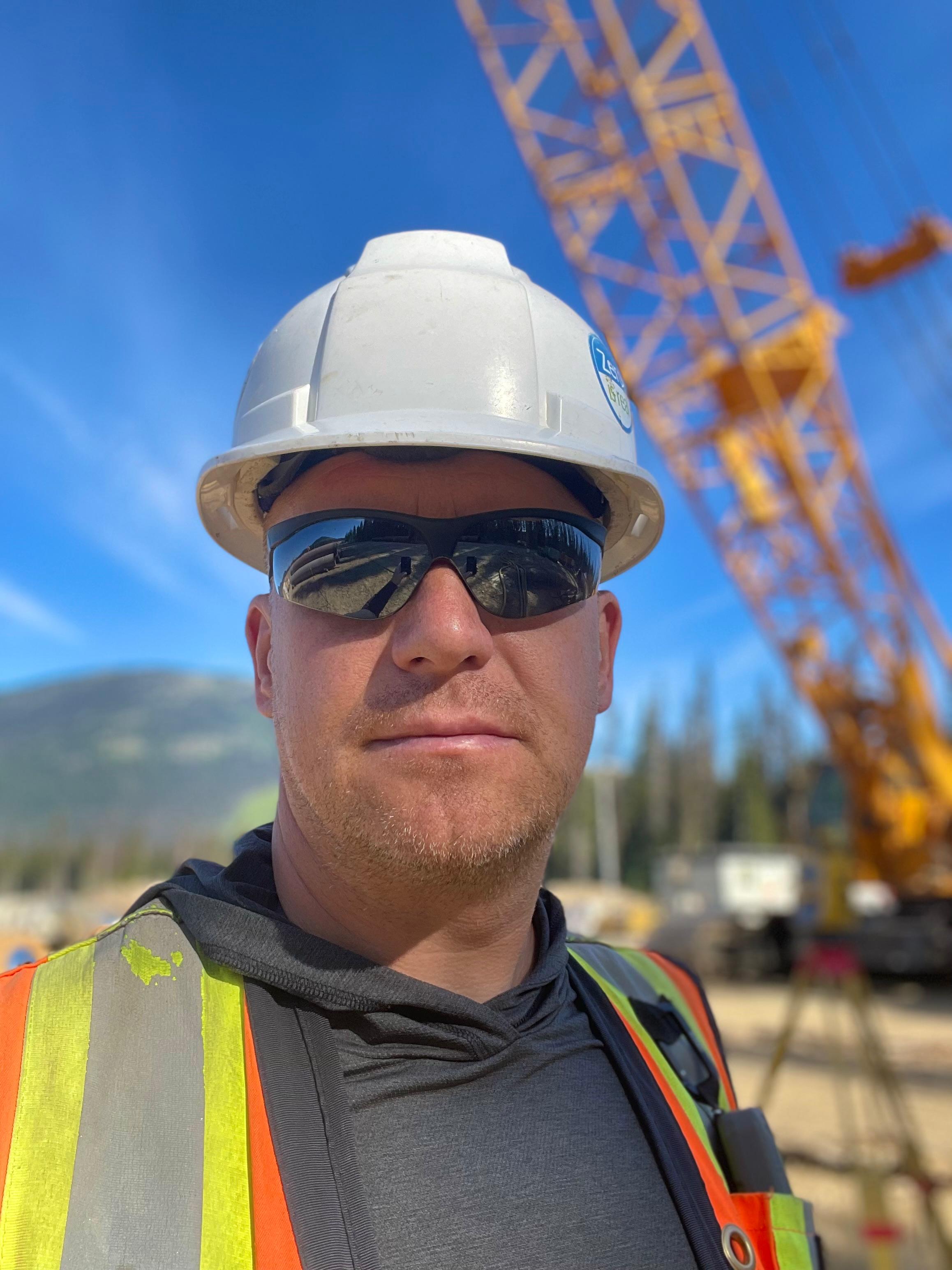
About Convex Geomatics

Blending traditional surveying expertise with advanced LiDAR, UAV, mobile mapping, and GIS to deliver precise, actionable data since 2020.

Our Story

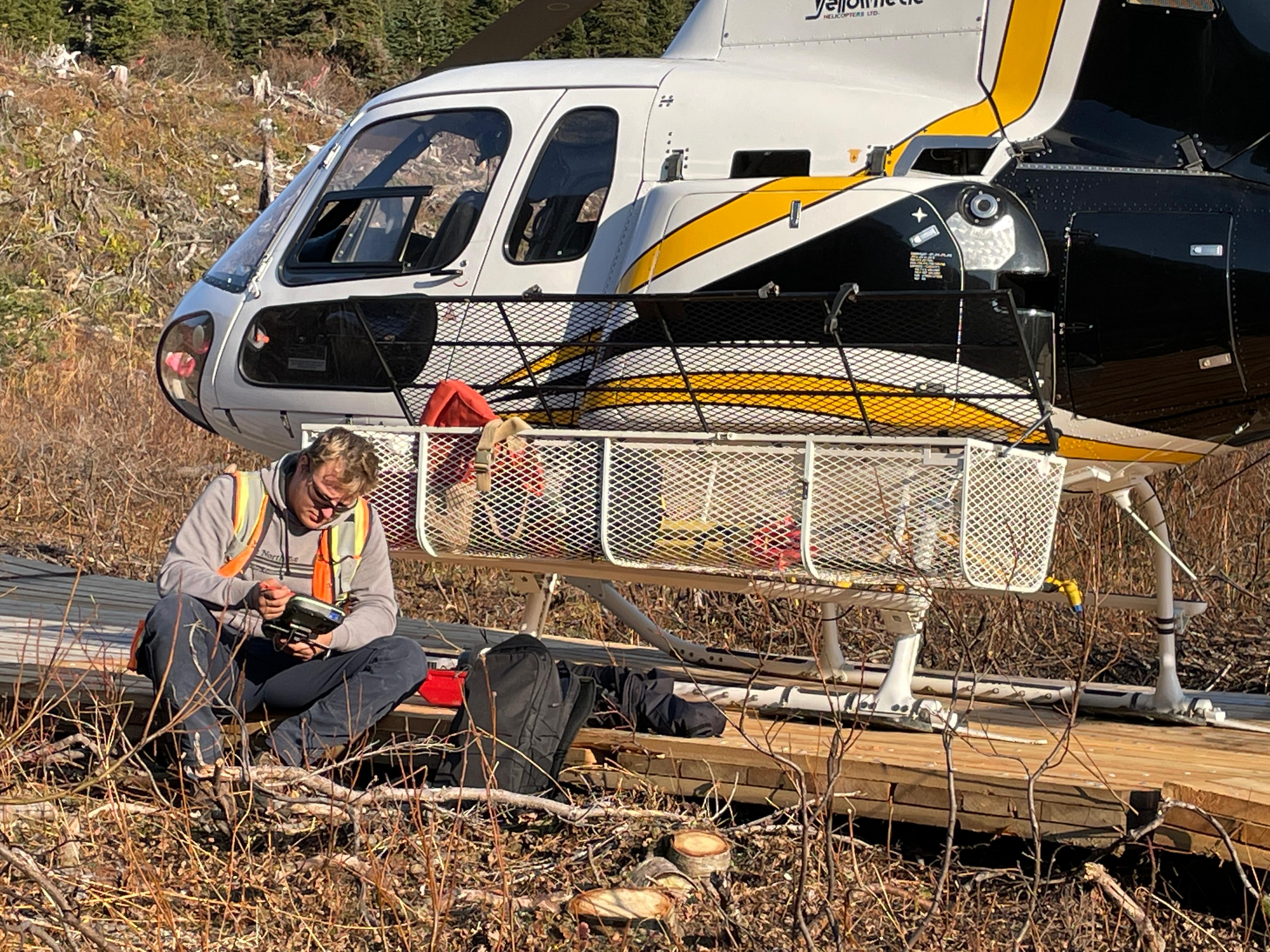
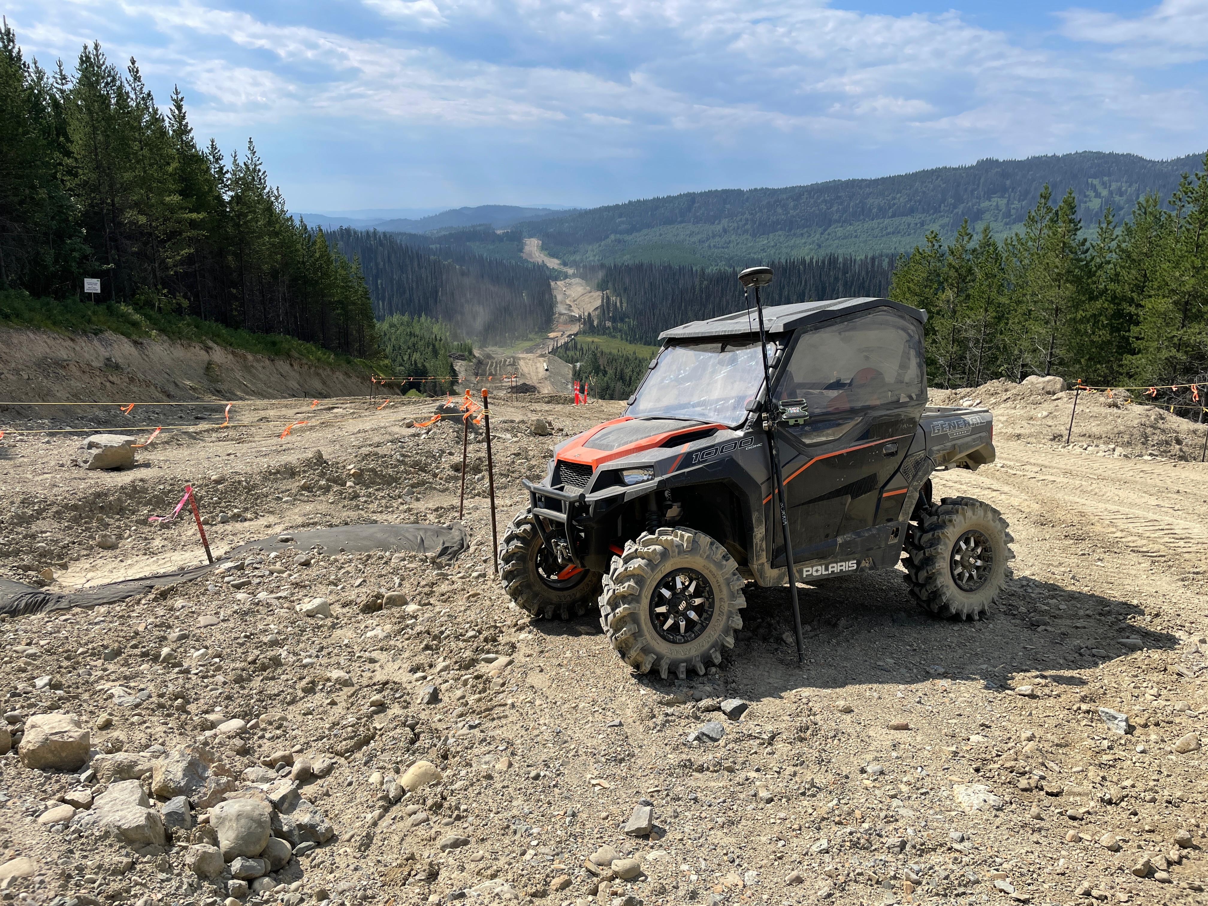
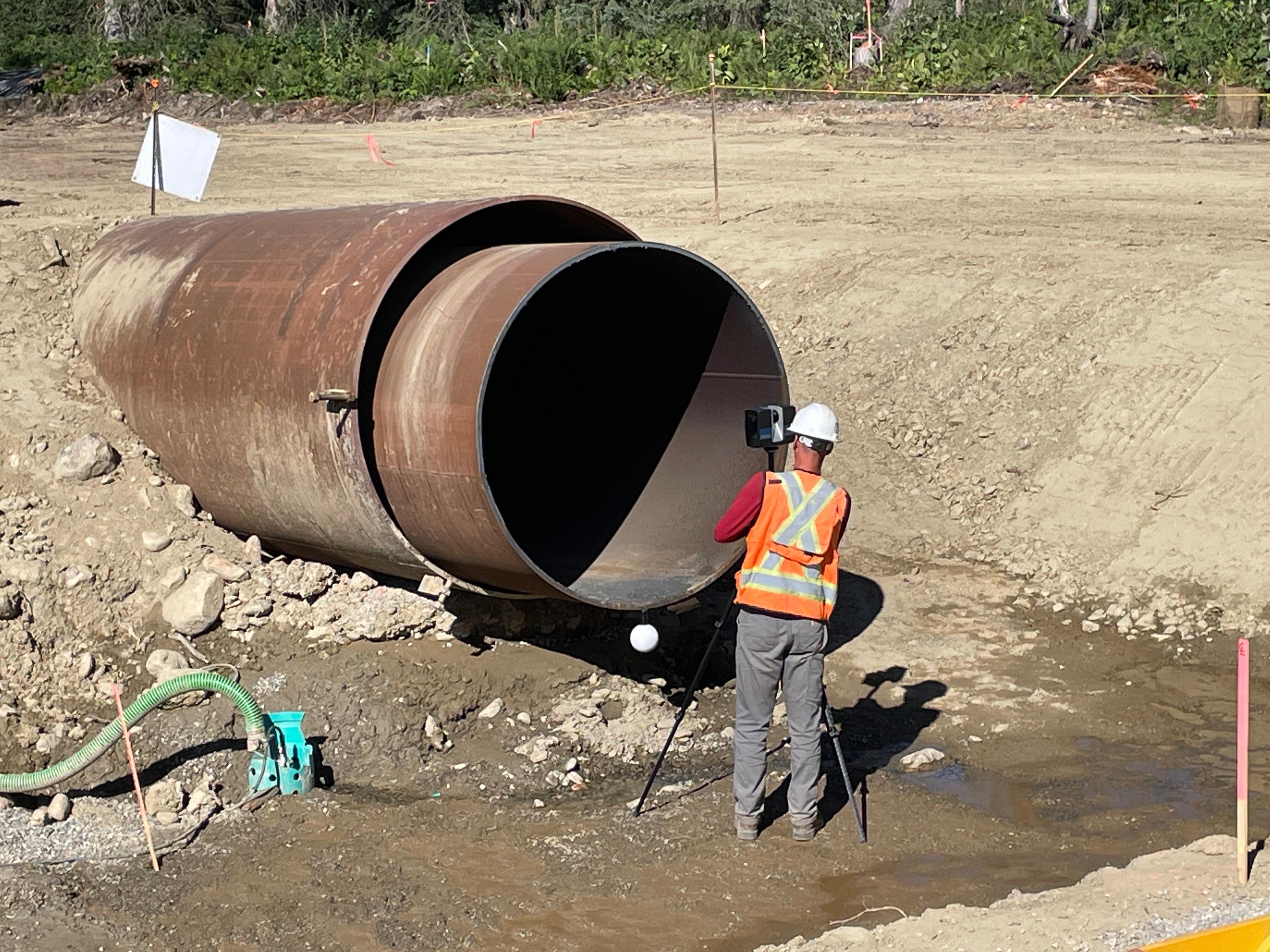
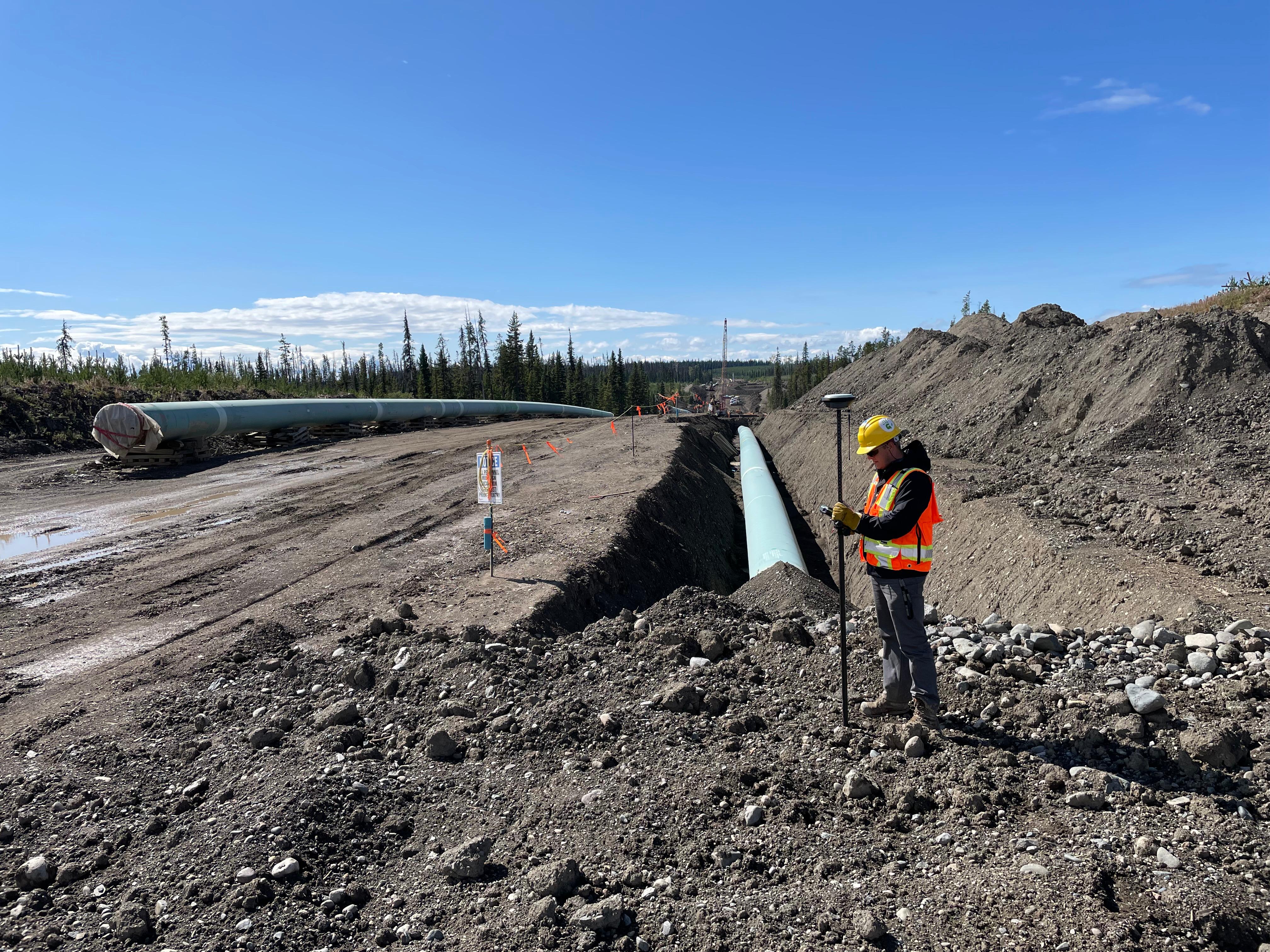
Convex Geomatics Ltd. is a family-owned Calgary geomatics firm (founded 2020) delivering precision LiDAR surveying, UAV/airborne mapping, mobile mapping, bathymetric surveys, 3D laser scanning, and road condition assessments. We also provide topographic & as-built surveys and construction layout/monitoring.

With 45+ years across Europe and Canada, we support oil & gas, complex construction, transportation, utilities, forestry, and environmental projects. From survey control to point-cloud processing, classification, and CAD/GIS deliverables, we supply accurate, defensible data that moves projects from field to finish on time and on budget.

At a Glance

2020
Year Founded
45+ years
Combined Experience
200+ km
Corridors Surveyed
24/7
Mobilization Window*

*As permitted by access and regulatory constraints.

Mission & Values

Action Over Talk.

We’re doers—meetings are short, results are sharp, and execution is everything. We don’t just meet deadlines—we master them. Discipline shapes our workflow, fuels precision, and ensures every project is delivered with consistency and care.

Innovation Without Noise

We cut through buzzwords—our innovation is practical, tested, and built to perform. We stay ahead—not by chasing trends, but by solving real problems with real solutions. We use UAV and mobile LiDAR, manned aircraft, SLAM, and GIS to improve safety, speed, and data completeness.

Discipline Drives Excellence

We don’t just meet deadlines — we master them. Discipline shapes our workflow, fuels precision, and ensures every project is delivered with consistency and care. It’s not just a value; it’s how we lead.

Simplicity Wins

In a world drowning in complexity, we keep things clear. Whether it’s how we communicate or how we build — simplicity makes us faster, sharper, and better.

Safety First

We plan safe, work safe, go home safe. Pre-job checks, UAV checklists, and PPE—every shift, every site.

Accountability at Every Level

We own our outcomes — good or bad. Everyone on our team is trusted to lead, act, and deliver. There’s no hiding behind titles. Results speak.

Leadership

Oskars Kreilis, Founder & CEO

Oskars Kreilis

Founder & CEO

Martins Kreilis, Founder & President

Martins Kreilis

Founder & President

Our Timeline

2020

Convex Geomatics is founded

Established in Calgary with a focus on high-accuracy land surveying and construction layout.

2022

First UAV LiDAR deployments

Expanded into aerial mapping to improve coverage, safety, and project turnaround.

2023

Pipeline Corridor Survey & Mapping (LiDAR + Photomapping)

Surveyed and mapped a multi-kilometre pipeline corridor using LiDAR and photomapping, with rigorous QA/QC.

2023

Mobile Mapping (LiDAR + SLAM)

Integrated vehicle-mounted LiDAR and handheld SLAM into our workflow to enhance coverage and safety.

2024

Bathymetry & asset management

Added hydrographic capability and GIS deliverables for municipalities and utilities.

2025 - Present

Integrated geospatial services

Unified topo/as-built, LiDAR, and monitoring services delivering design-ready, construction-ready, and closeout packages.

Certifications & Safety

Our crews are trained to meet Canadian OHS standards. We maintain current training, complete required orientations, and follow documented safe-work procedures.

  • Advanced UAV pilot certification
  • First Aid/CPR, CSTS, WHMIS
  • Job hazard assessments (JHA/JSA/FLHA)
  • We maintain an active WCB-Alberta account in good standing.

Careers

We’re always looking for curious surveyors and geospatial specialists who care about craft and client success.

Send Your Resume

Start with precision. Build with confidence.

From field to finish - precise data, on-spec deliverables, responsive support.

Company Profile (PDF) Contact Us