
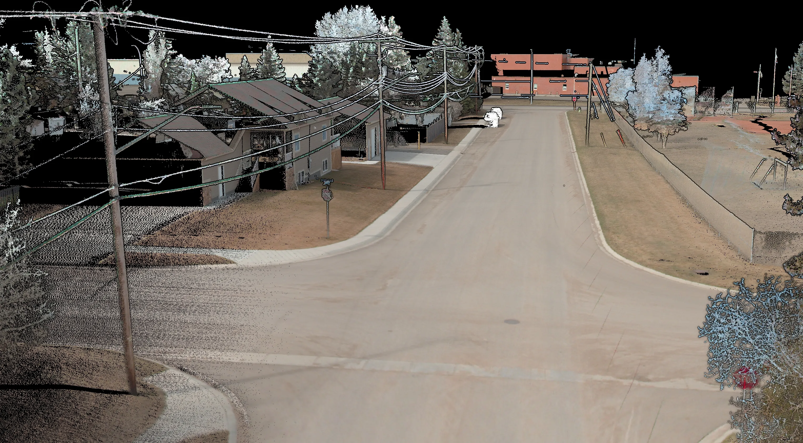
Pipeline Corridor Mapping
>200 km corridor LiDAR & orthos – design surfaces, clearances, and as-built checks.
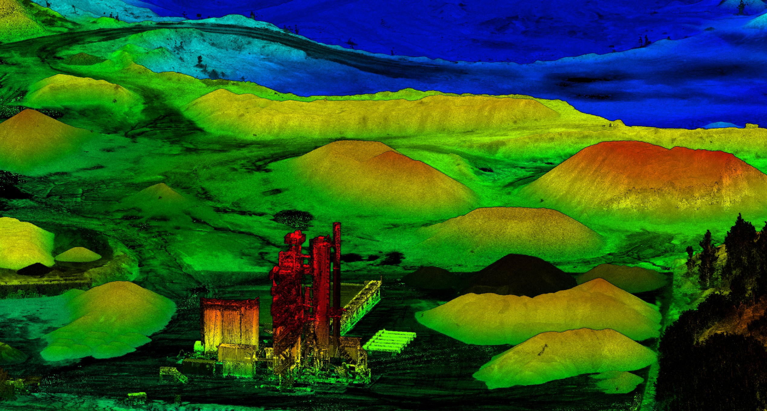
Recent work across corridors, urban environments, mining, and water — delivered with survey-grade accuracy and transparent QA/QC.
>200 km corridor LiDAR & orthos – design surfaces, clearances, and as-built checks.
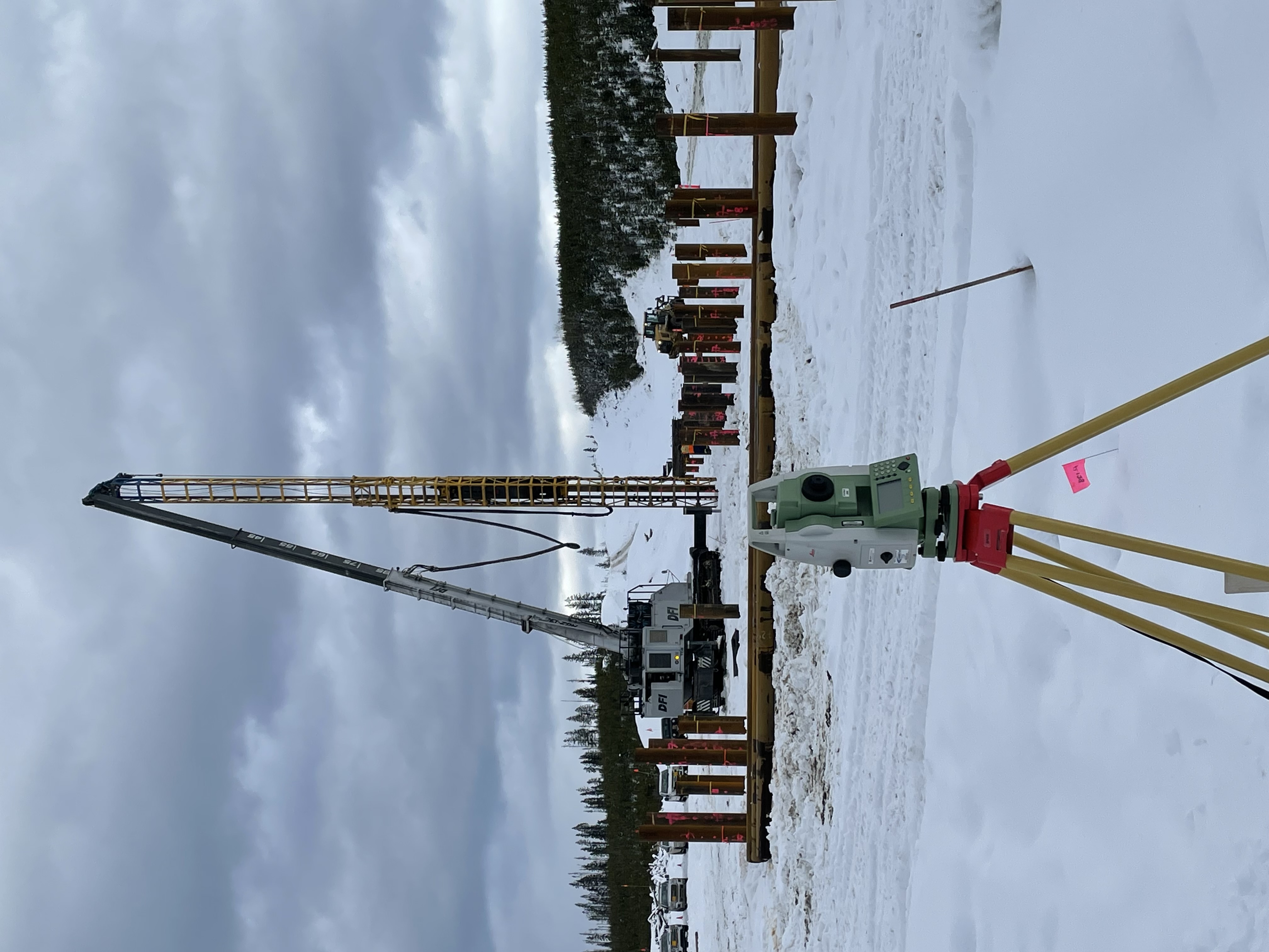
High-precision pile layout using TS control with QA checks and as-built reporting.
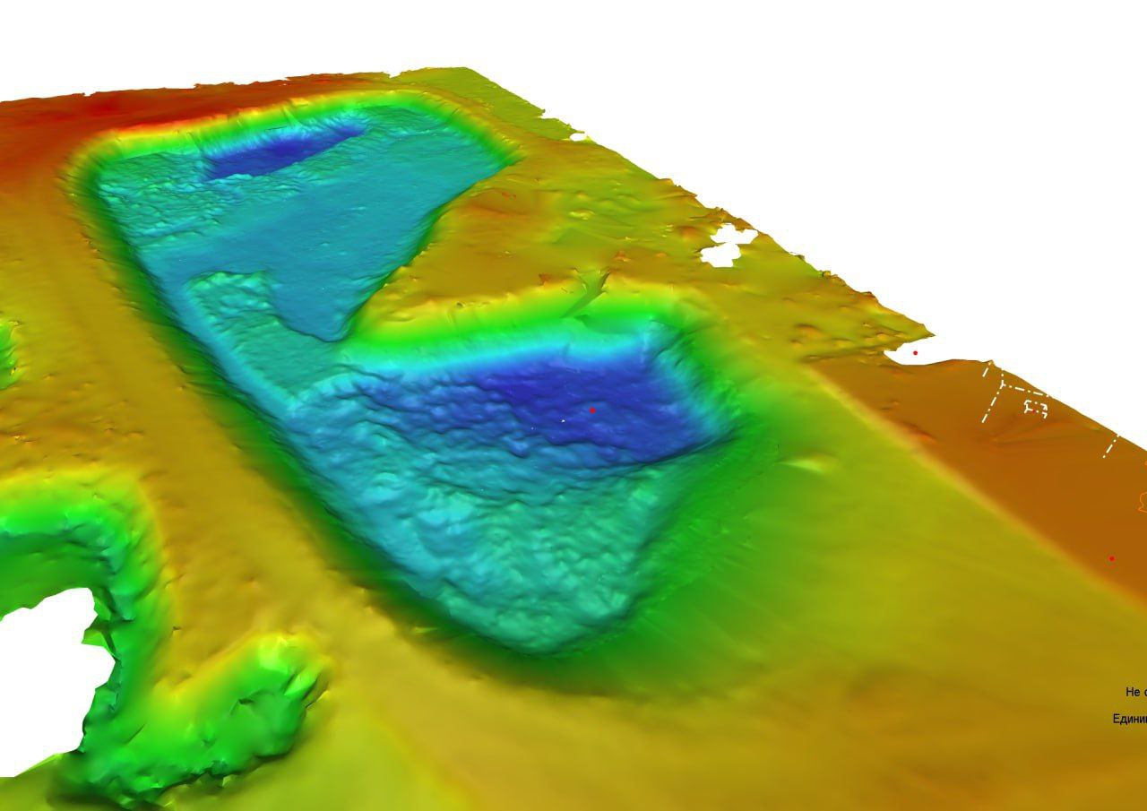
Repeat LiDAR/TLS with time-series dashboards and displacement heatmaps.