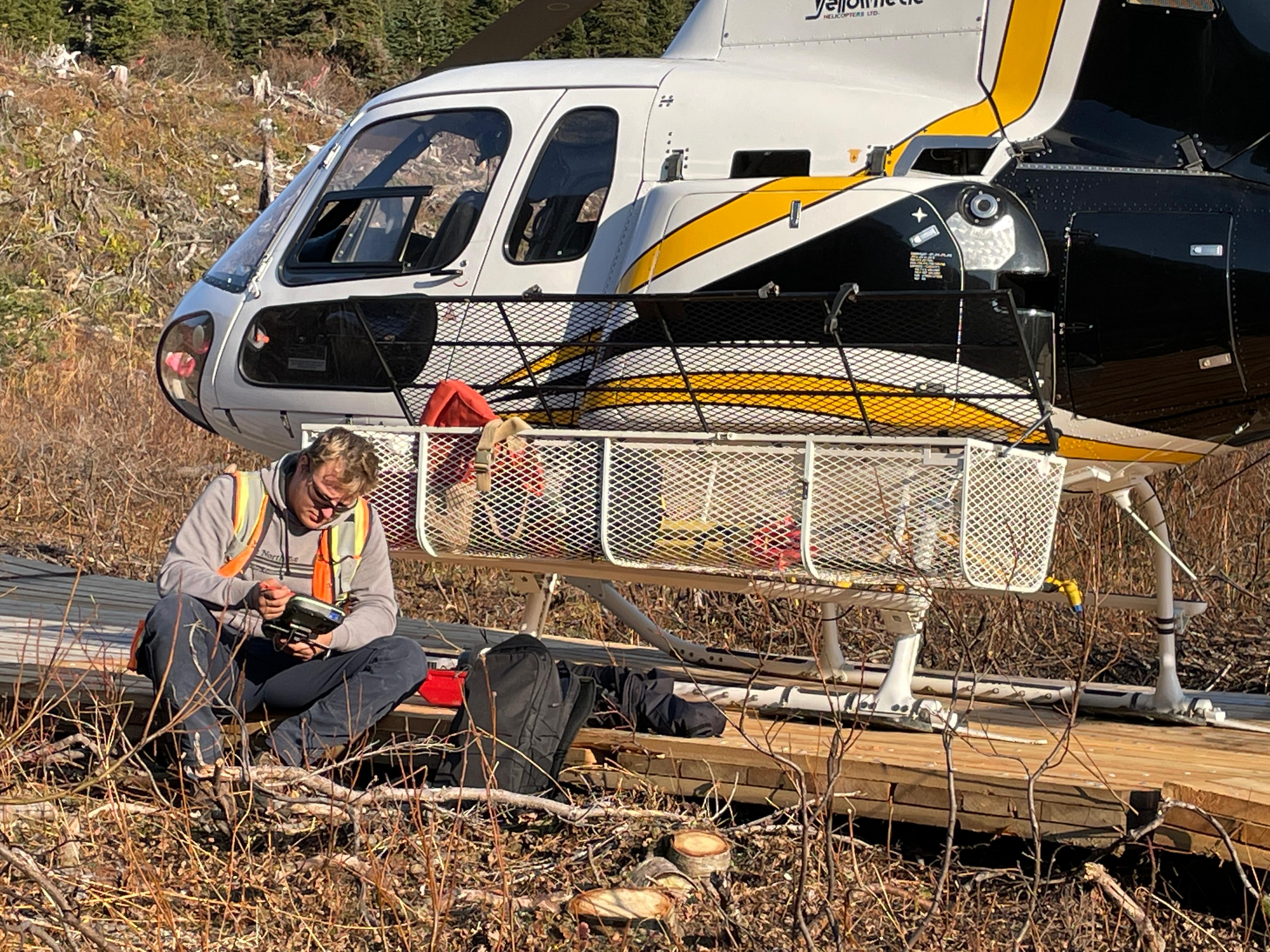
Technical articles, field lessons, and project spotlights from the Convex Geomatics team covering LiDAR, UAV surveys, bathymetry, data processing, and Alberta geomatics work.
USV echo sounders vs traditional methods. ±0.01 m depth accuracy across Alberta, BC, and Saskatchewan rivers, reservoirs, and storm ponds.
Read article: Bathymetric Methods in Surveying: Pros, Cons & SensorsHow realistic 3D mesh models reduce repeat field visits, speed engineering decisions, and let entire teams review remote sites from the office.
Read article: High-Resolution 3D Mesh Models for Inspection & EngineeringHow modern reality capture, mobile mapping, and Gaussian Splat workflows are changing how teams inspect and share real-world spaces.
Read article: Digital Twins and Gaussian Splats: Faster, Richer 3D CaptureTotal stations, prisms, tribrachs, and control networks are not all equal. How those differences affect alignment, tolerance, and rework cost.
Read article: High Accuracy Construction Surveying: When Millimetres MatterPenetration myths, returns, point density, and scan angles — plus how UAV and manned LiDAR workflows deliver real forestry deliverables.
Read article: LiDAR in Forestry & Dense Vegetation: What Actually WorksA LiDAR system alone does not guarantee good results. Sensor quality, field knowledge, processing experience, and QC/QA all shape the final deliverable.
Read article: Not All LiDAR Services Are Equal — What to Look ForAn empirical comparison of three volumetric methods on aggregate stockpiles — accuracy, cost, and field time analysis from Alberta operations.
Read article: Stockpile Volumetrics: UAV LiDAR vs Photogrammetry vs GPS