Geospatial Deliverables for Alberta Projects

Photomapping, LiDAR, bathymetric and monitoring data — engineering-ready outputs your design and project teams can drop straight into their workflow. 2–5 cm accuracy. Faster, safer field methods.

What We Deliver

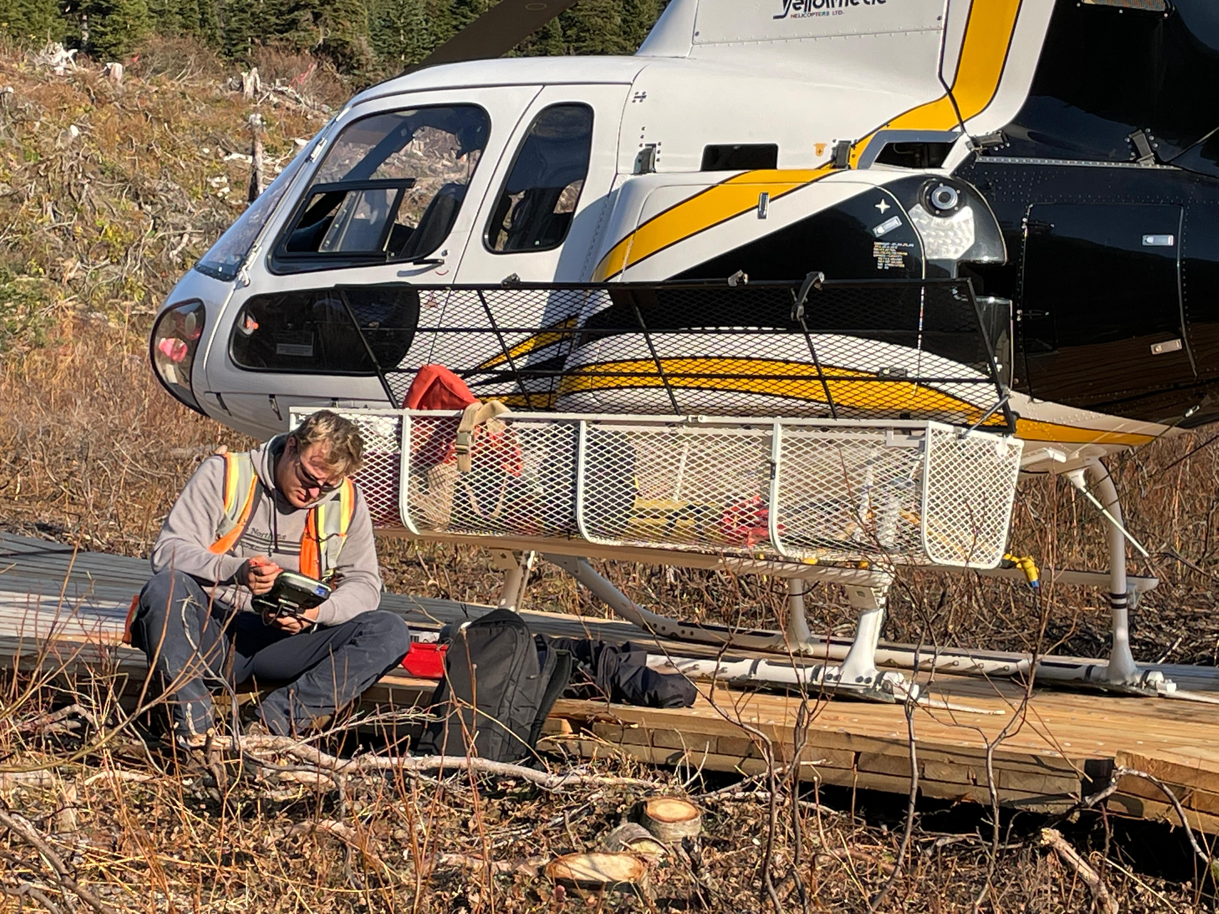
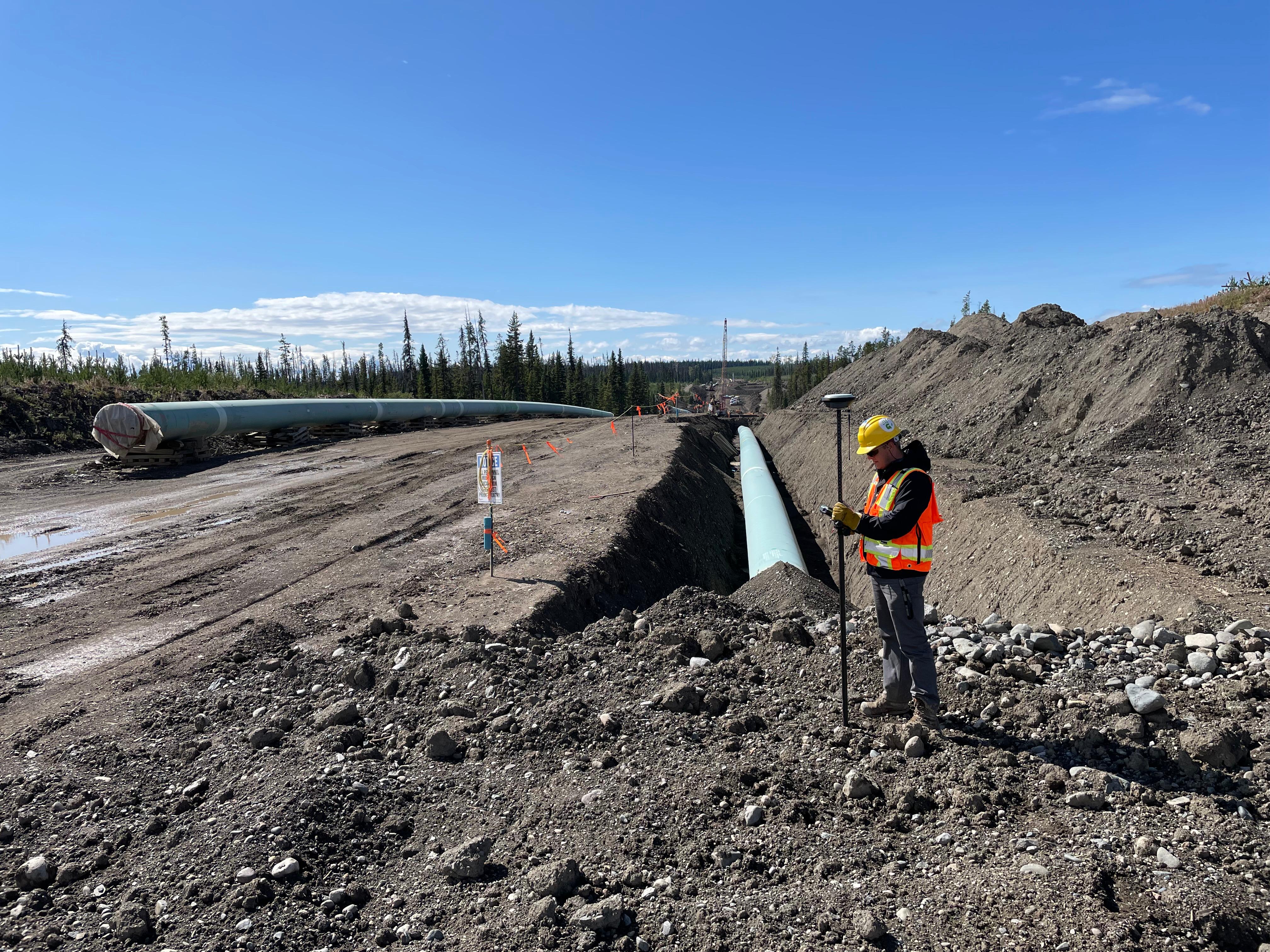
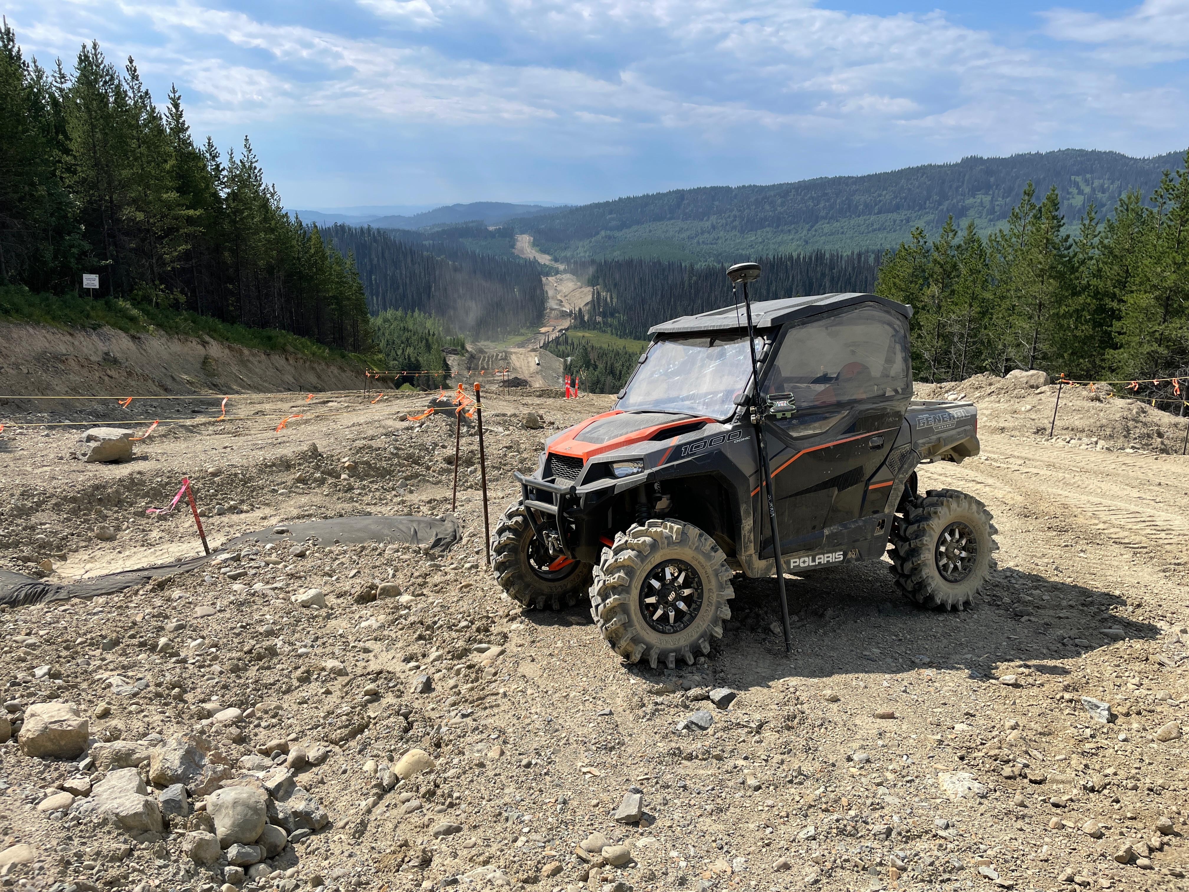
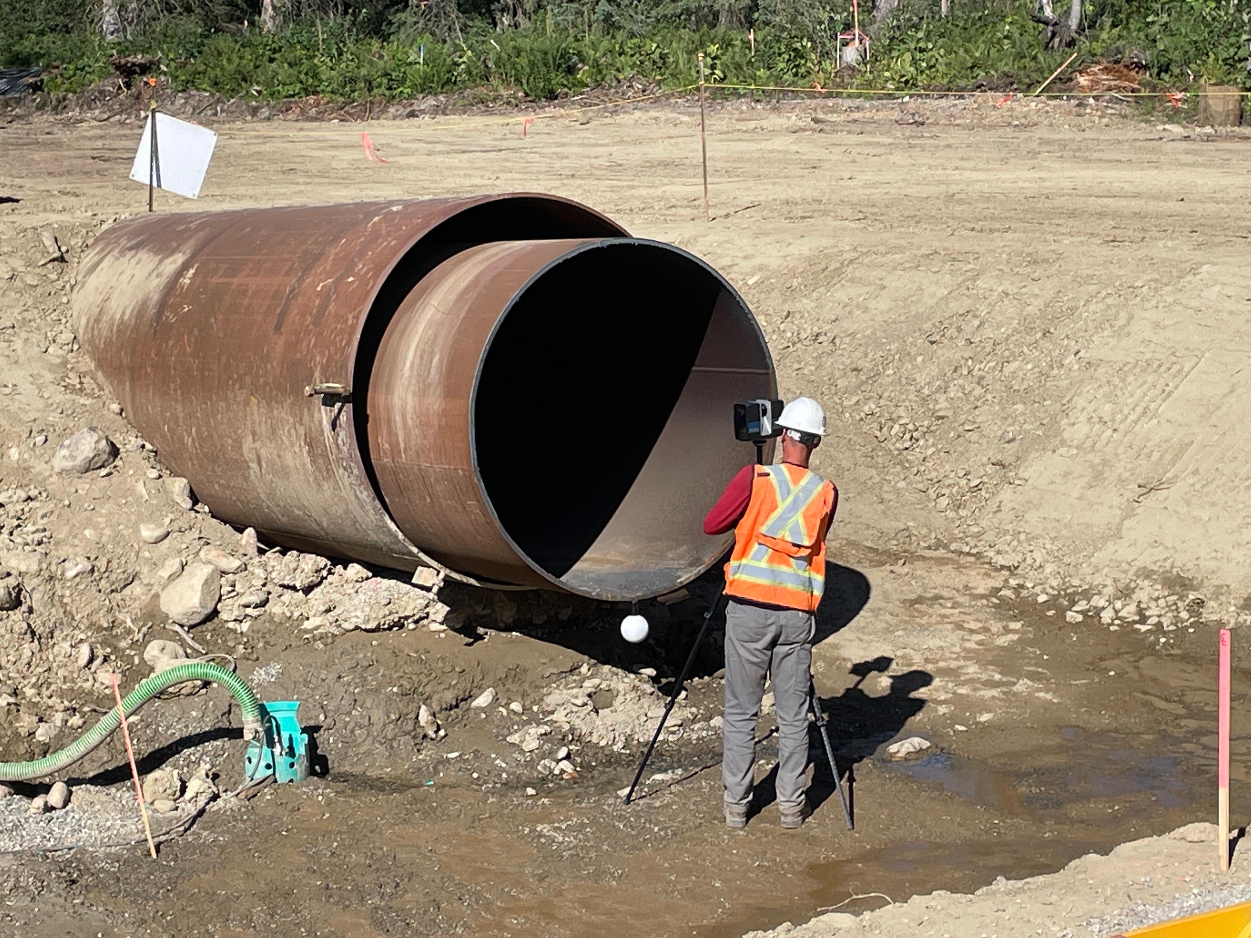
Convex Geomatics produces the engineering-ready data your design and project teams use to plan, build, monitor, and report — across pipeline, construction, civil, mining, water, environmental, and forestry projects in Alberta and Western Canada.

From single-flight orthomosaics to repeat-monitoring time-series, our deliverables ship as DWG, LandXML, classified LAS, GeoTIFF, SHP, IFC, OBJ, and PDF — aligned to your standards and ready for your regulatory submissions.

How We're Different

2–5 cm
Typical Accuracy
Faster
Than Ground Crews
Safer
No Boats, No Closures
21
Deliverable Types

Photomapping & 3D Reality Capture

High-resolution photo and 3D capture that documents conditions, supports design, tells your project's story, and replaces dozens of site visits.

Aerial Photomapping & Orthomosaics

Survey-grade orthophotos for design, planning, marketing, and stakeholder review. Sub-3 cm ground sample distance available. Delivered as GeoTIFF, MBTiles, PDF map, georeferenced KMZ.

3D Reality Capture & Textured Meshes

Photogrammetric and LiDAR-driven 3D models of sites, structures, and facilities. Walk, measure, and design against an exact digital twin. OBJ, FBX, 3D Tiles, OSGB, point cloud, web viewer.

Gaussian Splats & 3D Visualization

Next-generation immersive 3D reconstructions for visualization, virtual tours, and progress reviews — rendered with photorealistic detail. Hosted web viewer, splat data, embed-ready share links.

Site Documentation & Drone Imagery

Recurring drone photo sets, 360° spherical imagery, and project dashboards for as-of-date site documentation. High-res JPEG, 360° panos, hosted gallery, monthly PDF reports.

Monitoring & Change Detection

Repeat capture, deformation networks, and change-detection rasters that turn "how is the site doing this month?" into a defensible time-series your team can act on.

Construction Progress Monitoring

Monthly or weekly drone capture aligned to your schedule. Heatmaps, volumes, and orthophotos delivered to a shared dashboard. Monthly PDF, orthomosaic, DSM, point cloud, dashboard link.

Deformation Monitoring

Sub-millimetre monitoring with prism networks; cm-class monitoring with repeat LiDAR for slopes, embankments, dams, and large structures. Time-series report, displacement vectors, change rasters.

Stockpile Inventory Time-Series

Recurring stockpile flights for monthly inventory, royalty reporting, and reconciliation against block-model expectations. Monthly volume report, DWG, LAS, CSV, change-from-previous map.

Repeat LiDAR & Surface Change Detection

Baseline plus repeat LiDAR surveys differenced into change rasters. Detect erosion, settlement, subsidence, and asset movement over time. DEM-of-difference GeoTIFF, change polygons, displacement statistics.

Pipeline & Energy Corridor

Capture and processing for HDD design, route engineering, integrity, and as-built handoff to your engineering team.

River & Watercourse Crossing Surveys

Merged bank topo + river-bottom bathymetry as a single fused surface, ready for HDD designers and hydrotechnical engineers. USV + UAV LiDAR in one mobilization — no crew in the water.

Pipeline Corridor Mapping & As-Built

UAV and mobile LiDAR capture of pipeline corridors and ROW — pre-construction, during-construction, and as-built. Engineering-grade data for your design and as-built team.

Depth-of-Cover Surface Capture

High-resolution surface DEMs that combine with your AGM, locator, or potholing data to drive depth-of-cover analysis — long corridors covered in days instead of weeks.

Construction & Earthworks

Stockpile volumes, cut/fill, pre-pour topo, and detailed 3D scans of plants and facilities — for GCs, contractors, aggregate producers, and facility owners.

Stockpile Volume Reports

Drone capture of every pile, every month. Under 30 minutes per pile, 2–5 cm vertical accuracy, report delivered the next morning. Replaces weeks of GPS rover time.

Cut/Fill & Earthworks Surveys

TIN-difference cut/fill maps, pay-quantity supporting data, and monthly progress topo aligned to your draw cycle — for GC project coordinators and earthworks contractors.

Plant & Facility 3D Scanning

Tripod and mobile scans of brownfield plants, batteries, tank farms, and process facilities. Millimetre-class registration; outputs that drop into Revit, AVEVA, Plant 3D, or Navisworks workflows.

Civil, Municipal & Rail

Road and bridge capture without lane closures; rail corridor data in a single track window; municipal asset inventories from a single drive-through.

Road Corridor Mapping (Mobile LiDAR)

Mobile LiDAR at posted traffic speed — centreline, cross-sections, pavement condition, and as-built data. No lane closures, no flagging, no Traffic Accommodation Strategy delays.

Bridge & Structure 3D Capture

UAV LiDAR from above plus ground-based scan from below = a full bridge envelope without confined-space entry. Outputs ready for your bridge engineer's condition assessment workflow.

Rail Corridor & Yard 3D Capture

Vehicle-mounted MLS during a single rolling occupancy. Kilometres of track centreline, gauge, ballast, and clearance envelope — data your rail engineer can model against.

MLS Asset Inventory & Feature Extraction

Capture once with mobile LiDAR, extract every asset class — signs, poles, signals, lighting, ROW features — into your municipal GIS schema. 5–10 cm GIS-grade.

Water, Environment & Forestry

USV bathymetry for tailings, lakes and reservoirs; canopy and bare-earth models for forestry; ground-cover-free reclamation topo.

Tailings Pond Bathymetry (USV)

Unmanned surface vessel bathymetric surveys of tailings ponds and TSFs. Zero crew exposure on toxic water. Water-cap depth, total volume, and tailings interface delivered as surfaces, contours, and capacity tables.

Lake & Reservoir Bathymetric Surveys

Bathymetric capture of lakes, reservoirs and dams. UAV LiDAR shoreline + USV / single-beam open water. Year-round options including ice-method capture.

Forestry Canopy Models & Bare-Earth DTM

UAV LiDAR penetrates closed canopy where photogrammetry fails. Canopy height model, ladder-fuel layers, and bare-earth DTM from a single flight — for forest inventory, fuel mapping, and silviculture planning.

Have a project that needs photomapping, LiDAR or monitoring?

Tell us about the site, timeline, and deliverable format you need — we typically reply the same business day.

See Capabilities Request a Quote