Office (Calgary)
103 Riverglen Cres SE, Calgary, AB T2C 3J3
Advanced LiDAR, drone, and GIS technologies delivering millimeter-accurate data for engineering, construction, and environmental projects across Calgary and Alberta.
Comprehensive geospatial solutions tailored to your project requirements across Calgary and Alberta
Survey-grade airborne LiDAR surveys using UAV and manned aircraft for precise mapping with centimetre-level accuracy.
UAV & Manned Aircraft LiDAR SurveysProcessing raw LiDAR data into design-ready maps and models for CAD/GIS workflows.
LiDAR Data ProcessingVehicle-mounted LiDAR and imaging for rapid 3D capture of roads, utilities, and interiors.
Mobile MappingHydrographic mapping using unmanned surface vessels for safe depth measurements in water bodies.
Bathymetric SurveyingMeasuring road condition and geometry using mobile LiDAR for quality assurance and metrics computation.
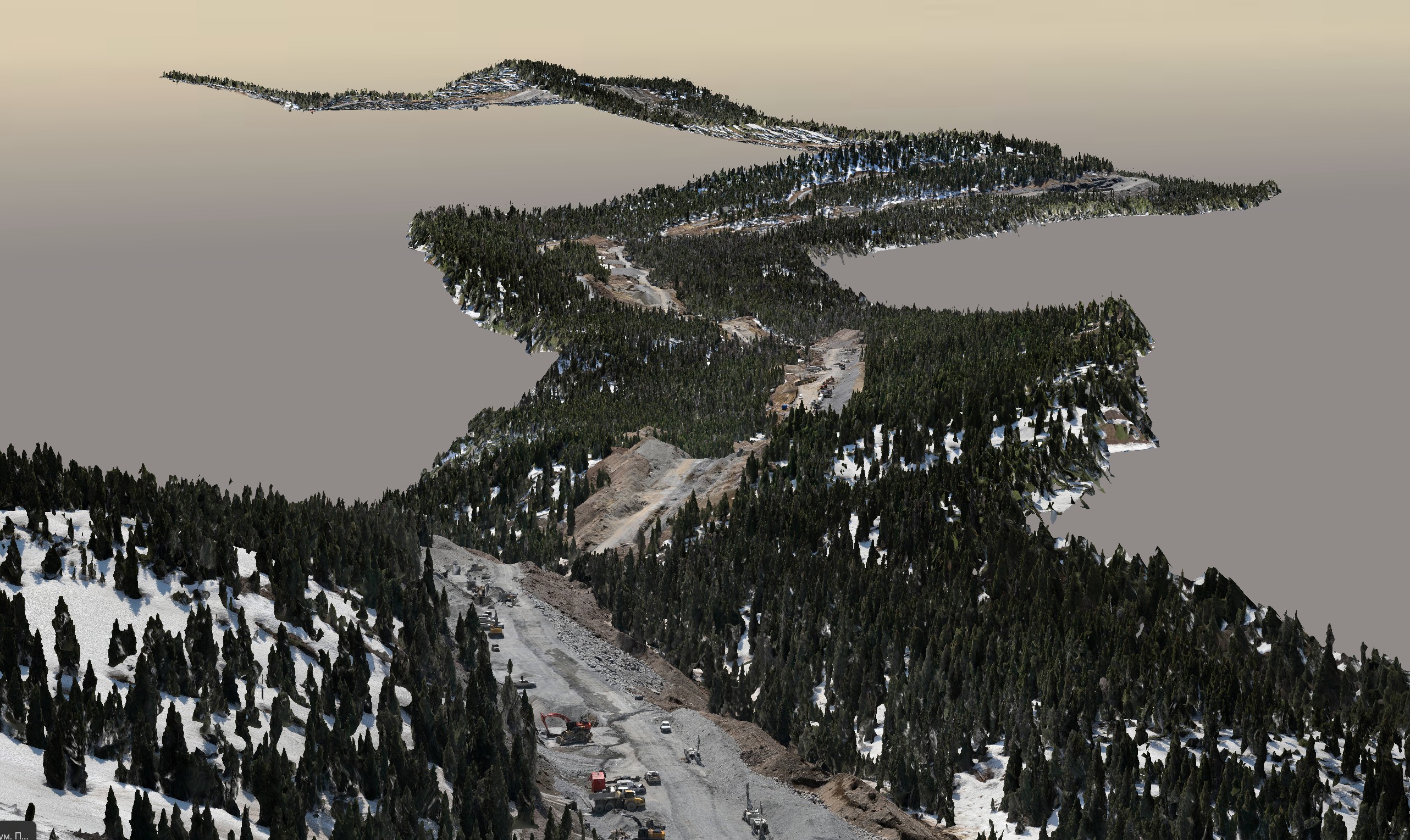
Road Quality AssuranceAerial mapping producing orthomosaics, point clouds, and 3D models with survey-grade accuracy.
Photomap & 3D Model GenerationTopographic and as-built surveys using GNSS, LiDAR, and total stations for CAD-ready basemaps.
Topographic & As-Built SurveysConstruction layout, monitoring, and control using precise staking and verification services.
Construction Layout, Monitoring & ControlVolumetric calculations for stockpiles and earthworks using UAV LiDAR and photogrammetry.
Volumetric & Earthwork CalculationsExplore our recent geospatial projects across Calgary, Alberta, and beyond

200 km of pipeline corridor scanned with high-resolution LiDAR for as-built documentation and verification.

Comprehensive 3D mapping of the town performed using mobile LiDAR technology.
Founded in 2020, Convex Geomatics Ltd. is a family-owned company based in Calgary, Alberta, and a trusted name in precision geomatics. With over 45 years of combined experience, we provide advanced solutions in LiDAR, mobile mapping, bathymetric surveying, and road condition assessment.
Our high-accuracy, actionable geospatial data supports engineering, infrastructure, energy, and environmental projects throughout Calgary and across Alberta. Committed to cutting-edge technology, efficiency, and rapid turnaround, Convex Geomatics drives innovation in critical infrastructure development.

Contact our Calgary-based team for engineering surveying and LiDAR projects across Alberta
103 Riverglen Cres SE, Calgary, AB T2C 3J3