What Your Team Can Do With the Twin
Six things engineers, regulatory consultants, HSE managers, and operations teams use the twin for every week:
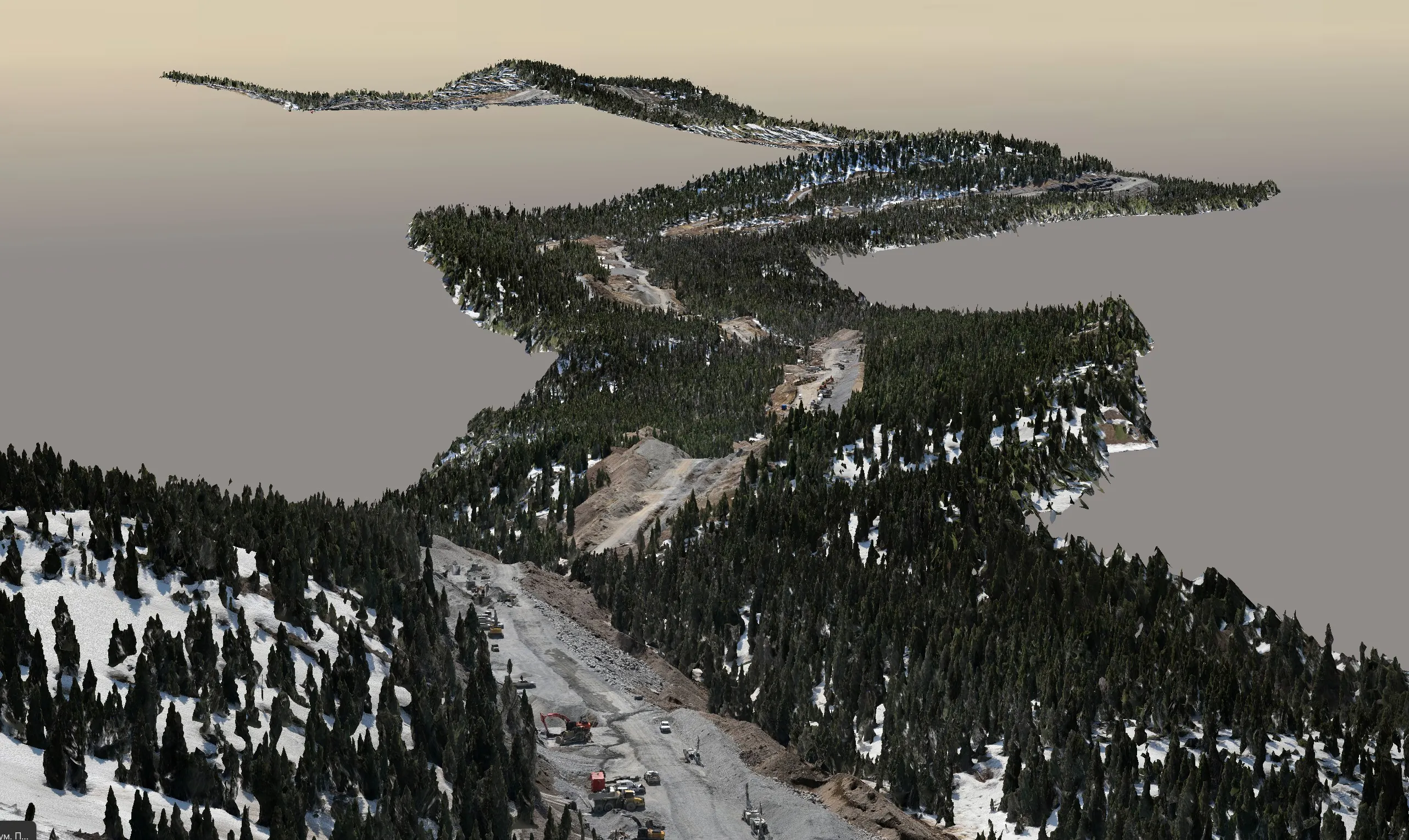
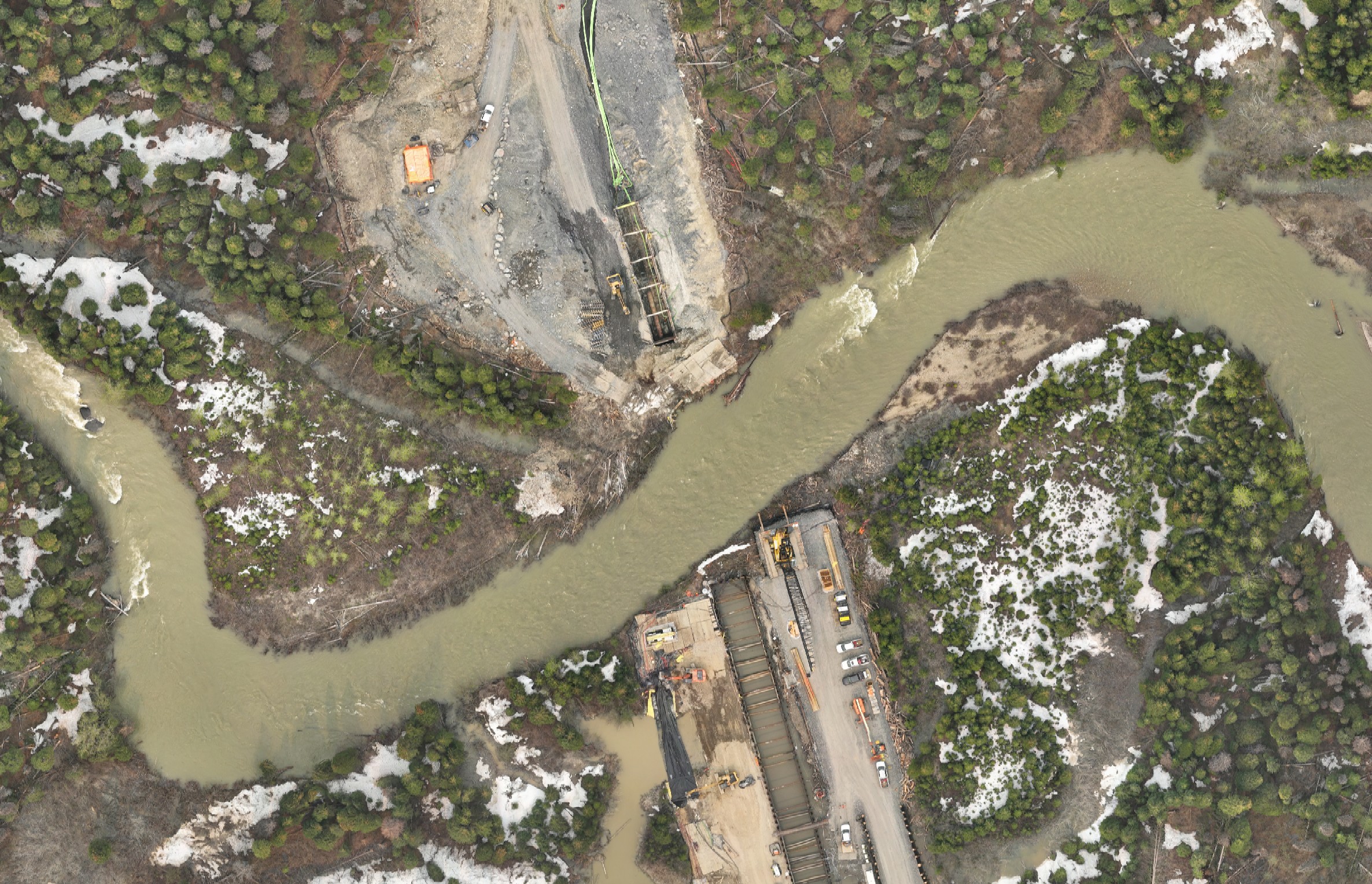
Audit the Whole Site in 30 Seconds
Spin the model from any angle. Inspect tank batteries, well-heads, flare stacks, piping, berms, lease boundaries. See what's actually on site without leaving your desk.
Measure Anything That Matters
Distance between two points (pipe spacing, setback to fence line). Area of a polygon (lease boundary, gravel pad footprint). Elevation of any point (berm crest, stack top, ground reference).
Document Findings With Screenshots
Capture annotated screenshots straight from the viewer for inspection reports, regulator submissions, internal QC documents, or contractor RFIs. Defensible visuals with measured dimensions.
Secure Multi-User Access
Invite engineers, consultants, contractors, and JV partners with individual logins and permission levels you control — from Calgary to Houston. Any device, any browser, no software install.
Compare Captures Over Time
Re-capture the same wellsite quarterly or yearly. Flip between epochs to document settlement, reclamation progress, equipment additions, encroachment, or post-incident change.
Pre-Bid & Pre-Construction Walkdowns
Contractors bidding on tie-ins, abandonment, or facility upgrades can walk the site in advance without mobilizing. Tighter bids, fewer surprises, less site disruption.
Convex Geoportal — Your Secure Workspace
Every digital twin we produce is delivered to Convex Geoportal — your password-protected workspace where authorized team members access your site models, run advanced measurements, compare captures over time, and collaborate on findings. The public viewer above is a preview of one feature; the portal adds the full toolset your engineering team needs day-to-day.
Cross-Sections & Slice Planes
Cut through any axis to inspect what's underneath equipment or below grade. Drag the slice plane through tanks, berms, piping, or terrain to see internal arrangements clearly.
Volume Calculations
Cut and fill volumes for berms, stockpiles, excavations, and reclamation tracking. Reports export to PDF with annotated views ready for regulator or stakeholder submissions.
Multi-Epoch Time Slider
Re-capture the same site quarterly or yearly. Flip between epochs side-by-side to document settlement, encroachment, equipment changes, or reclamation progress.
Annotations & Markups
Pin notes to any point on the site. Draw shapes, attach photos and PDF references, and create issue tracking that follows the geometry — not a separate spreadsheet.
Saved Views & Bookmarks
Capture specific angles for inspections, reports, or team handovers. Share saved views with teammates so everyone opens the model at exactly the right place.
Team Access Control
Invite engineers, contractors, regulators, and JV partners with the access level they need. Audit log tracks every login and action. Add or revoke access at any time.
Frequently Asked Questions
What is a wellsite digital twin and how is it built?
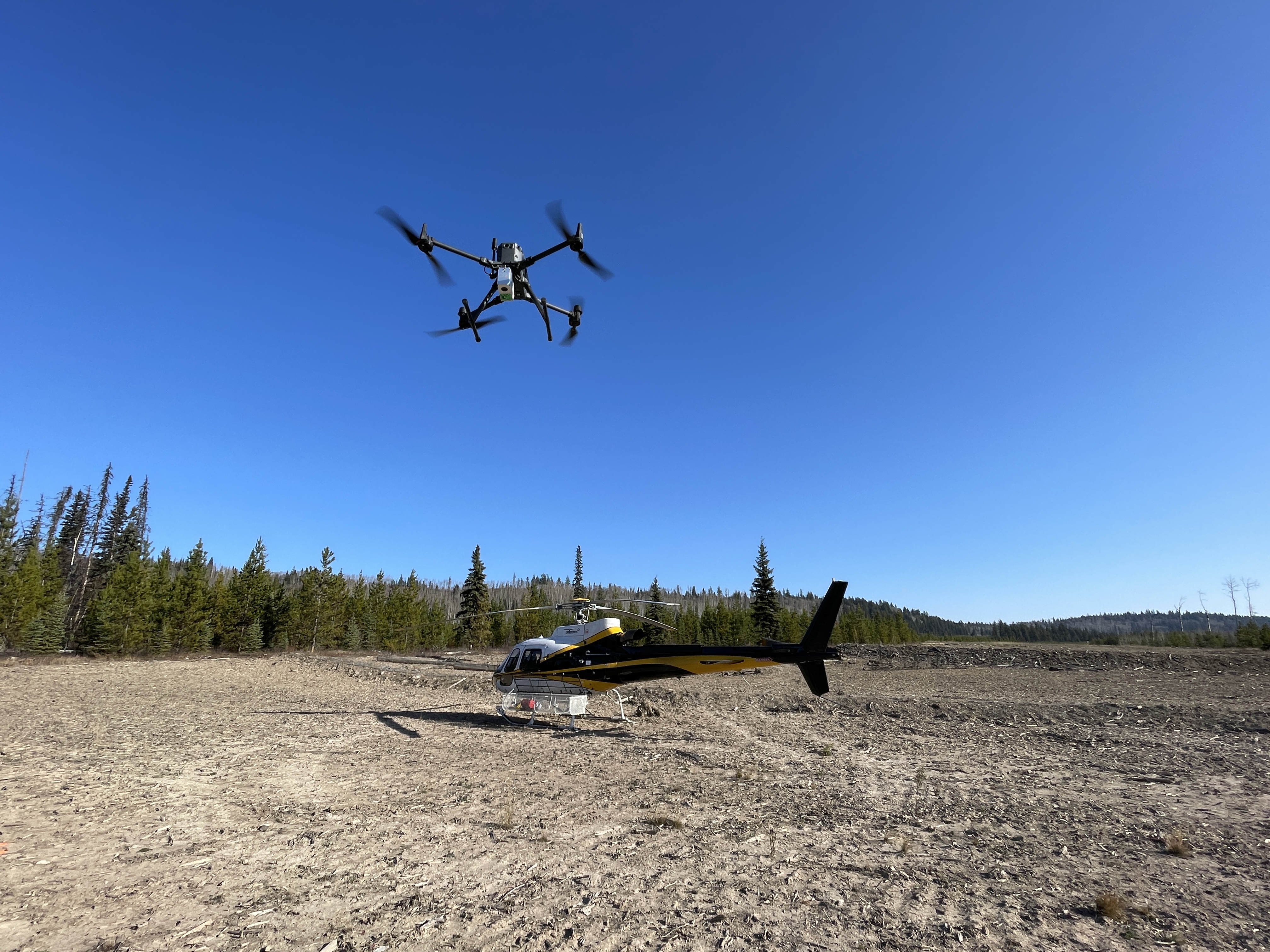
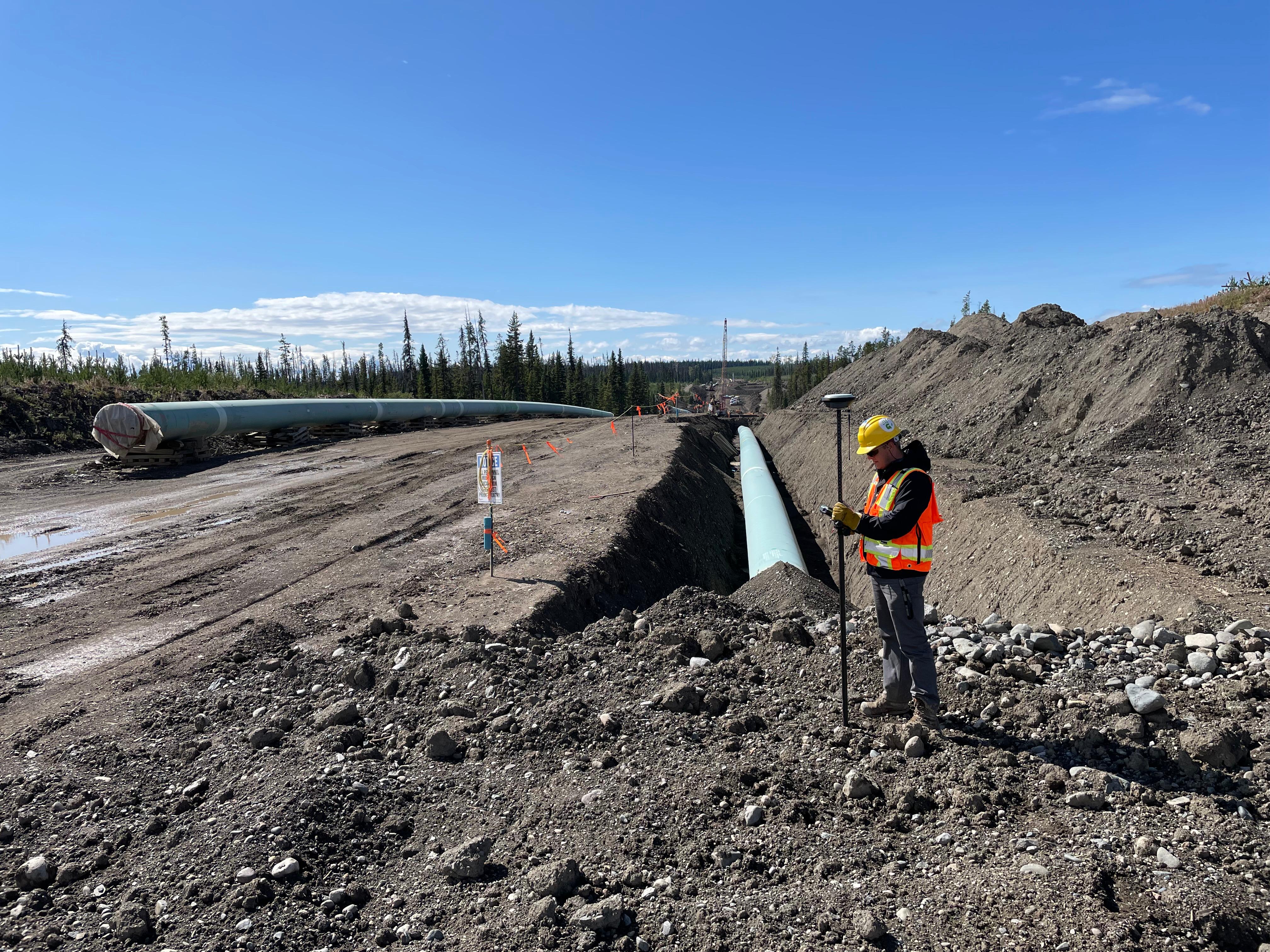
A wellsite digital twin is a textured 3D model of your wellsite that loads in any browser. We build it from a single mobilization combining UAV LiDAR for geometry and high-resolution UAV photogrammetry for photo-realistic texture. Production deliveries are published to Convex Geoportal, a password-protected workspace with advanced tools.
Can my team measure things inside the digital twin?
Yes — and there's a tiered set. The public viewer above includes distance, area, and elevation tools so anyone can try them. Inside Convex Geoportal, your team also gets cross-section slicing, volume calculations, multi-epoch comparison, annotations, and saved views. Measurements are calculated against the actual 3D geometry, not a 2D image.
How do I share the twin with my team or external stakeholders?
Your site is published to Convex Geoportal — your password-protected workspace. We provision logins for your team with permission levels you control. They access the model from any modern browser on any device, no software install. Add and remove access as projects evolve.
How quickly can a wellsite digital twin be delivered?
Standard turnaround is 2–7 business days from field complete to portal access for your team. A typical wellsite is captured in one day on site. Multi-pad programs are commonly scheduled across a single mobilization to amortize travel costs.
Can I compare two captures of the same wellsite over time?
Yes. We can deliver a baseline twin and re-capture the same site months or years later. Both epochs are aligned on common control. Inside Convex Geoportal, your team uses the time slider to flip between captures and document settlement, encroachment, equipment additions, or reclamation progress.
Is the data secure? Who can access the twin?
Convex Geoportal is password-protected with per-user accounts. We provision logins for your team, and you control who has access and at what level (read-only, measurement, full). Access can be added and revoked any time. Optional IP whitelist available for sensitive operations. We do not publish your sites or use your data in marketing without written permission.
What does it cost?
Wellsite digital twins are more affordable than most operators expect — typically less than the cost of the repeated site visits they replace. Pricing depends on site size, access, and program scope, and multi-pad programs reduce per-site cost significantly. Contact us with site details and we'll quote within one business day.