3D LASER SCANNING
3D Terrestrial Laser Scanning
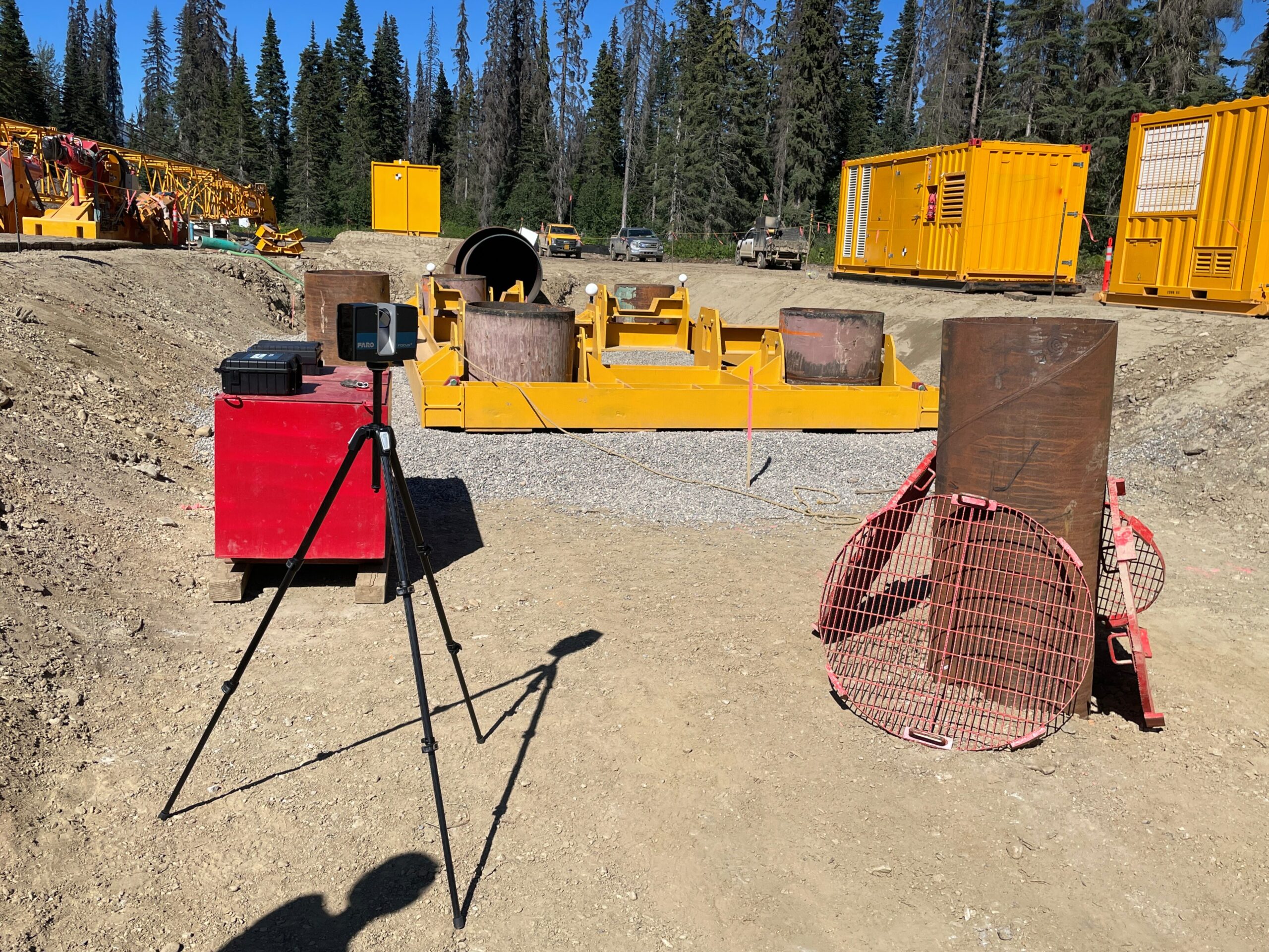
Our 3D terrestrial laser scanning service provides a fast, highly accurate, and non-contact measurement solution. Equipped with cutting-edge scanners, we capture up to one million survey points per second—setting the industry standard for speed and precision. This advanced system enables us to gather extensive, detailed data rapidly and accurately in the field.
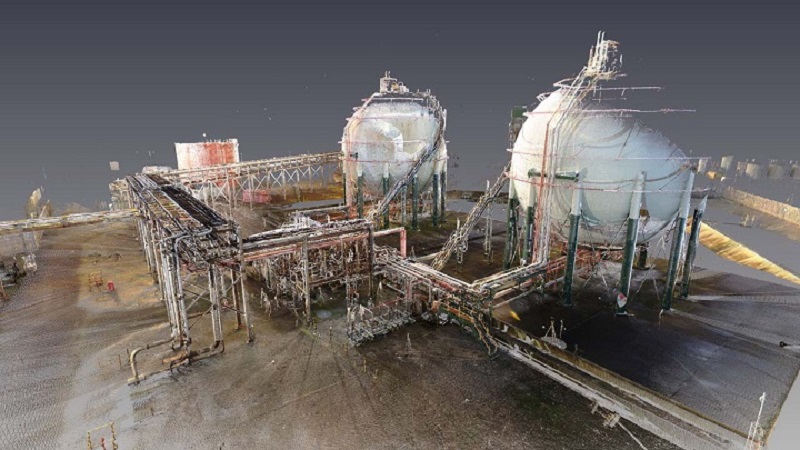
Once the data is collected, we use rigorous processing techniques to register the scans, delivering them as detailed point cloud data or enhanced models. These outputs integrate seamlessly with existing software, making them invaluable for brownfield design, asset tracking, and more. Additionally, the point cloud can be used to produce traditional deliverables such as site plans, volume calculations, and as-built drawings.
Our 3D laser scanning services are perfect for a variety of applications, including:
- Industrial As-Builts
- Asset Management
- Construction Verification
- Structural Monitoring
- Site & Topographic Surveys
- Underground Mapping
- Remote Measurements
- Volume Calculations
- Deformation Monitoring
- Architectural Surveys
Discover how our advanced terrestrial laser scanning services, including 3D modeling from point clouds, can elevate your projects with unparalleled accuracy and efficiency. Contact us for more information.


3DLaser Scanning Deliverables
Our 3D terrestrial laser scanning services provide a variety of deliverables designed to support your project needs. Below is a summary of the key deliverables we offer:
Cleaned and Adjusted Point Clouds
- Description: Point clouds are georeferenced, refined and corrected to enhance accuracy and clarity.
- Format: Available in LAS/LAZ, or other standard point cloud formats.
- Uses: Essential for detailed analysis and accurate representation of scanned environments.
Classified Point Clouds
- Description: Point cloud data is categorized into different classes such as ground, vegetation, buildings, and structures.
- Format: Provided in LAS/LAZ format with classification metadata.
- Uses: Facilitates detailed analysis and feature extraction for various applications.
Value-Added Models
- Description: Enhanced models derived from the point cloud data, tailored for specific applications such as brownfield design or asset tracking.
- Format: Delivered in formats compatible with various modeling and CAD software.
- Uses: Supports design, planning, and project management needs.
Traditional Deliverables
- Description: Includes traditional outputs such as site plans, volume calculations, and as-built drawings.
- Format: Provided in common formats such as PDF, DWG, or DXF.
- Uses: Ideal for documentation, reporting, and construction planning.
