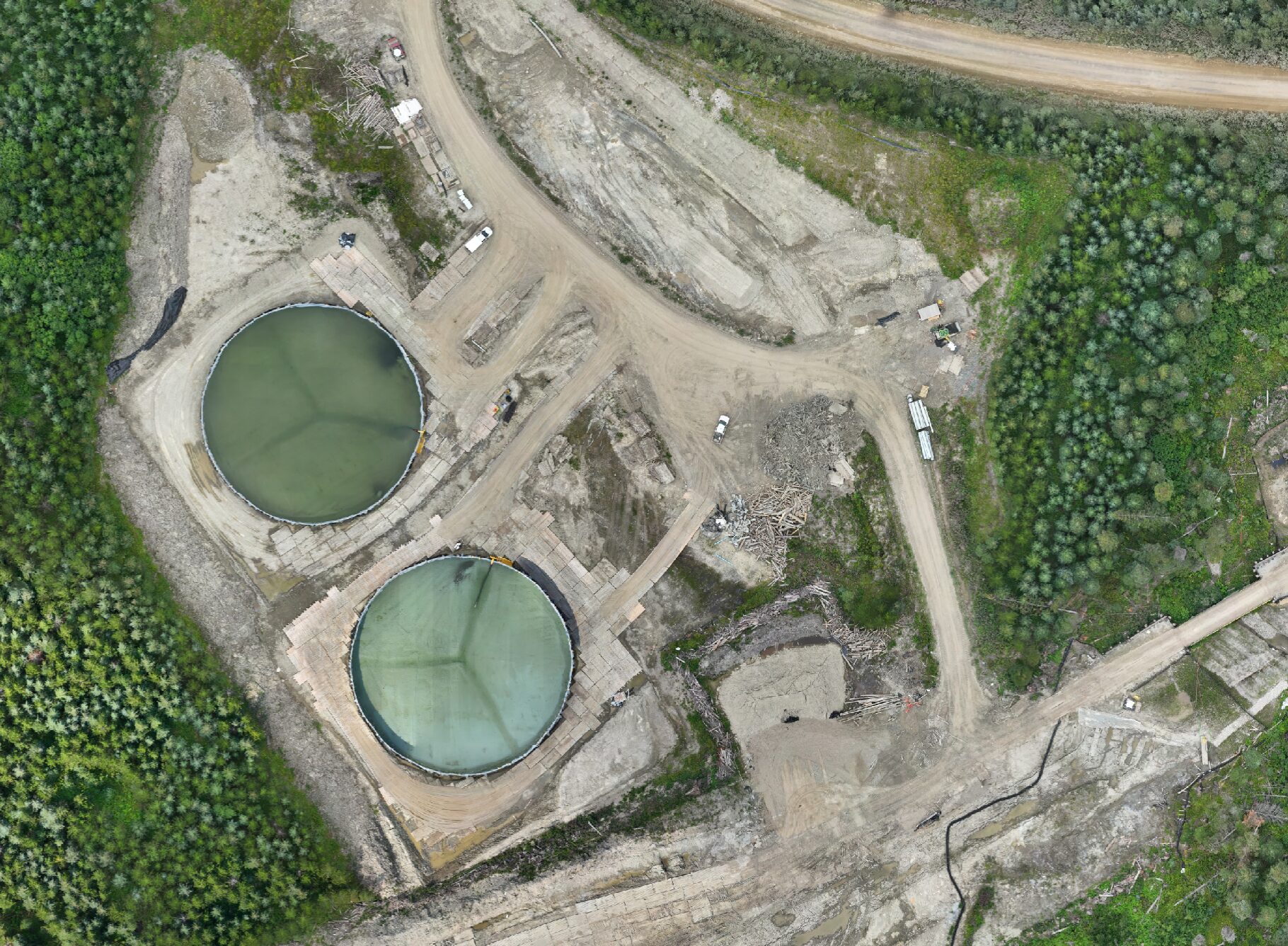
PHOTOMAP AND MESH GENERATION
Photomap and Mesh Generation, Volume Calculations
At Convex Geomatics, we specialize in transforming client-provided images into high-quality photomaps and meshes, and providing precise volume calculations. Our advanced techniques ensure accuracy and detail, ideal for architecture, engineering, and construction projects.
Custom Photomap and Mesh Generation
We process client images into detailed photomaps and 3D meshes using the latest software and technology. Whether you need aerial views, topographic maps, or 3D models, we deliver precise and reliable results.
Volume Calculations
In addition to photomaps and meshes, we offer precise volume calculations, ideal for projects that require accurate measurements of material quantities, excavation planning, and stockpile assessments.
Post Processed Kinematic (PPK) Enhancement
For projects requiring high precision, we offer Post Processed Kinematic (PPK) processing, refining image positioning to align perfectly with real-world coordinates. This technique is crucial for land surveying, infrastructure planning, and environmental studies.
Pre-Project Consultation
We provide pre-project consultations to optimize image capture, including guidance on flight settings, altitude, overlap, and camera angles. This proactive approach ensures accurate and comprehensive results.
Applications and Benefits
Our services are ideal for:
- Architecture and Construction: Detailed site models, visualizations, and volume calculations.
- Engineering: Accurate terrain and surface models for analysis, including precise volume estimates.
- Environmental Studies: Monitoring and analyzing land use, ecological changes, and volumetric changes.
- Urban Planning: Supporting city planning and development with detailed 3D models and volume assessments.
Why Choose Us?
Convex Geomatics is committed to delivering top-notch photomap, mesh generation, and volume calculation services tailored to your specific needs. Our expert consultation, cutting-edge technology, and meticulous attention to detail ensure the most accurate and reliable visual data for your projects. Contact us today to enhance your project outcomes with our services.
Interested in Photomapping, LiDAR Surveying, and Volume Calculation Services?
If you’re looking for detailed and accurate photomaps, LiDAR surveys, and volume calculations for your projects, please visit our Photomapping and LiDAR Surveying Services page for more information.

