LiDAR DATA PROCESSING
LiDAR Data Processing
At Convex Geomatics, we offer expert LiDAR Data Processing services, leveraging our extensive experience to deliver the best results for your project. Our team specializes in the adjustment, cleaning, and classification of point clouds, ensuring that your data is accurate, well-organized, and ready for analysis.
Our processed data provides valuable insights and supports a wide range of applications, including urban planning, environmental studies, and infrastructure development. By choosing Convex Geomatics, you can trust that you will receive high-quality, detailed data, empowering you to make informed decisions and achieve your project goals.
In addition to our LiDAR data processing services, we also provide LiDAR data collection. Click here for more information.
Deliverables
Our LiDAR data processing services provide comprehensive solutions for various applications. Below is a summary of the key deliverables we offer:
1. Digital Elevation Model (DEM)
- Description: A DEM is a 3D representation of a terrain’s surface created from LiDAR data. It captures the ground surface without any vegetation or structures.
- Format: Available in various formats, including GeoTIFF, ASCII, and more.
- Uses: Ideal for topographic mapping, flood modeling, and landscape analysis.
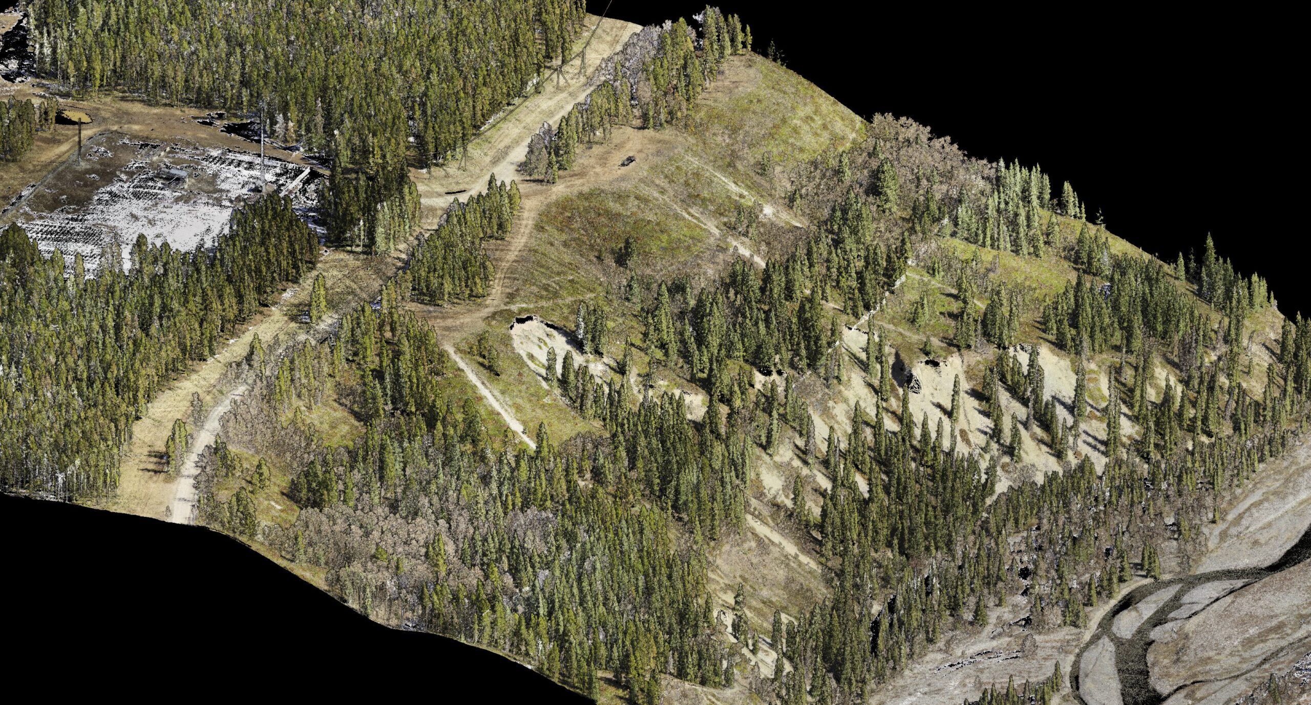
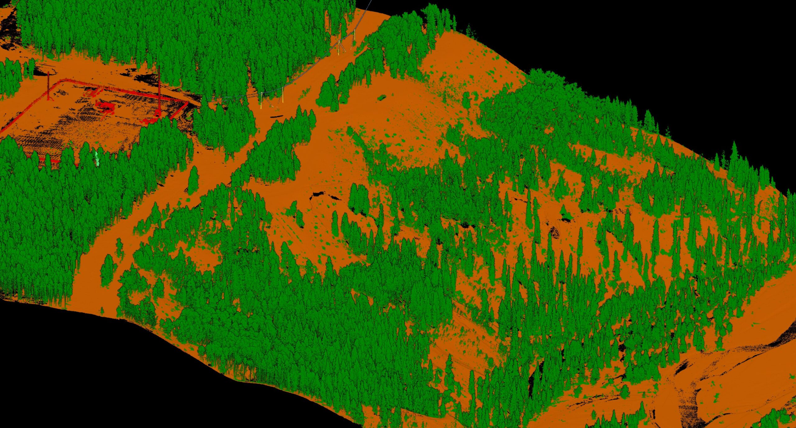
2. Classified Point Cloud
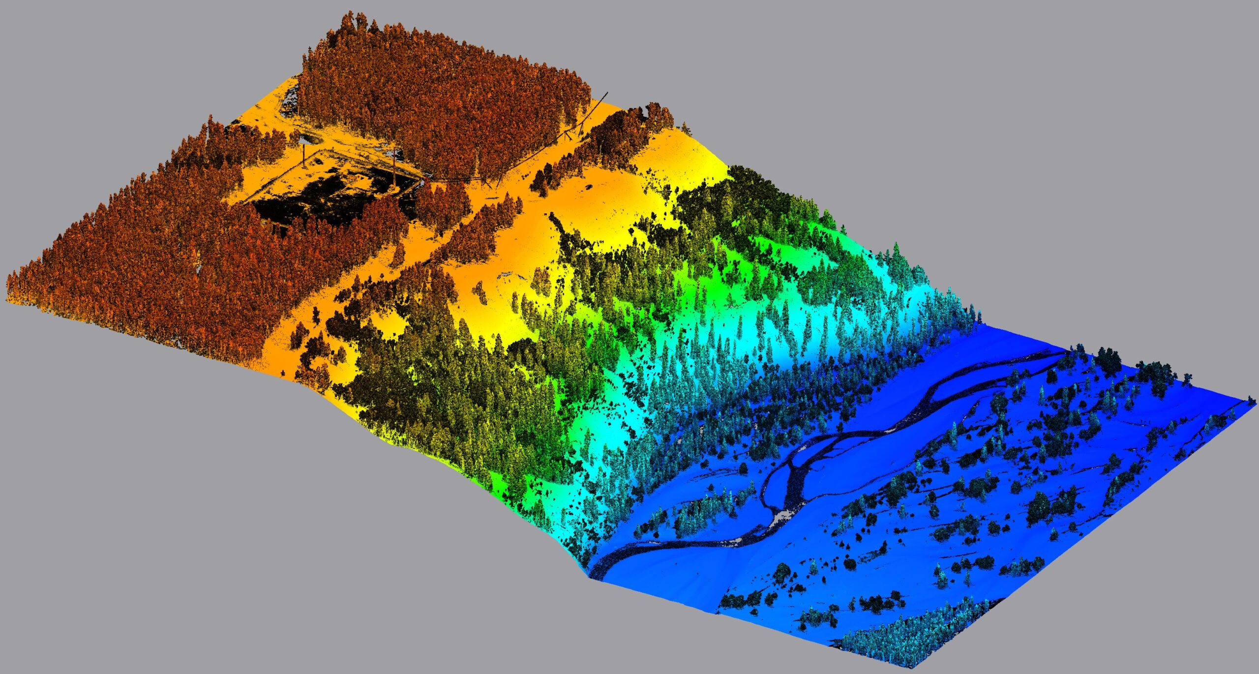
- Description: The point cloud is categorized into different classes such as ground, vegetation, buildings, and water. This classification helps in understanding the various components of the landscape.
- Format: Commonly provided in LAS/LAZ format, along with classified point cloud files in standard GIS formats.
- Uses: Useful for detailed analysis and extraction of specific features.
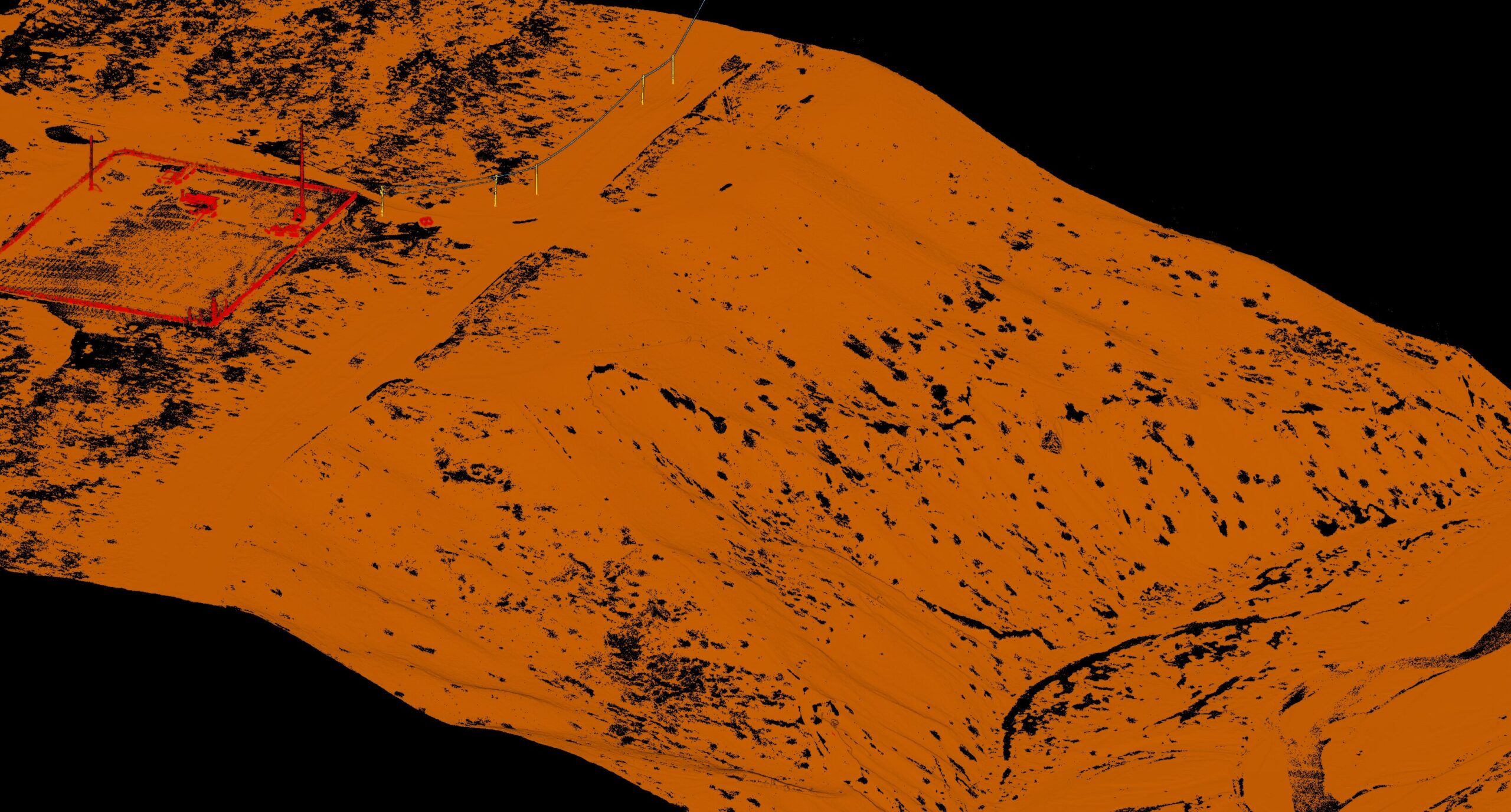
3. Extracted Bare Ground
- Description: This deliverable isolates the bare ground surface from the LiDAR point cloud, excluding vegetation, buildings, and other obstacles.
- Format: Available as a raster file or as a filtered point cloud.
- Uses: Essential for applications requiring a clear view of the ground surface, such as erosion studies or construction planning.
4. Elevation Points
- Description: This deliverable consists of precise elevation points extracted from the LiDAR data, providing detailed height information at specific locations.
- Format: Available in formats such as CSV, LAS/LAZ, or as point features in GIS-compatible formats.
- Uses: Ideal for detailed elevation analysis, surveying, and geospatial modeling.
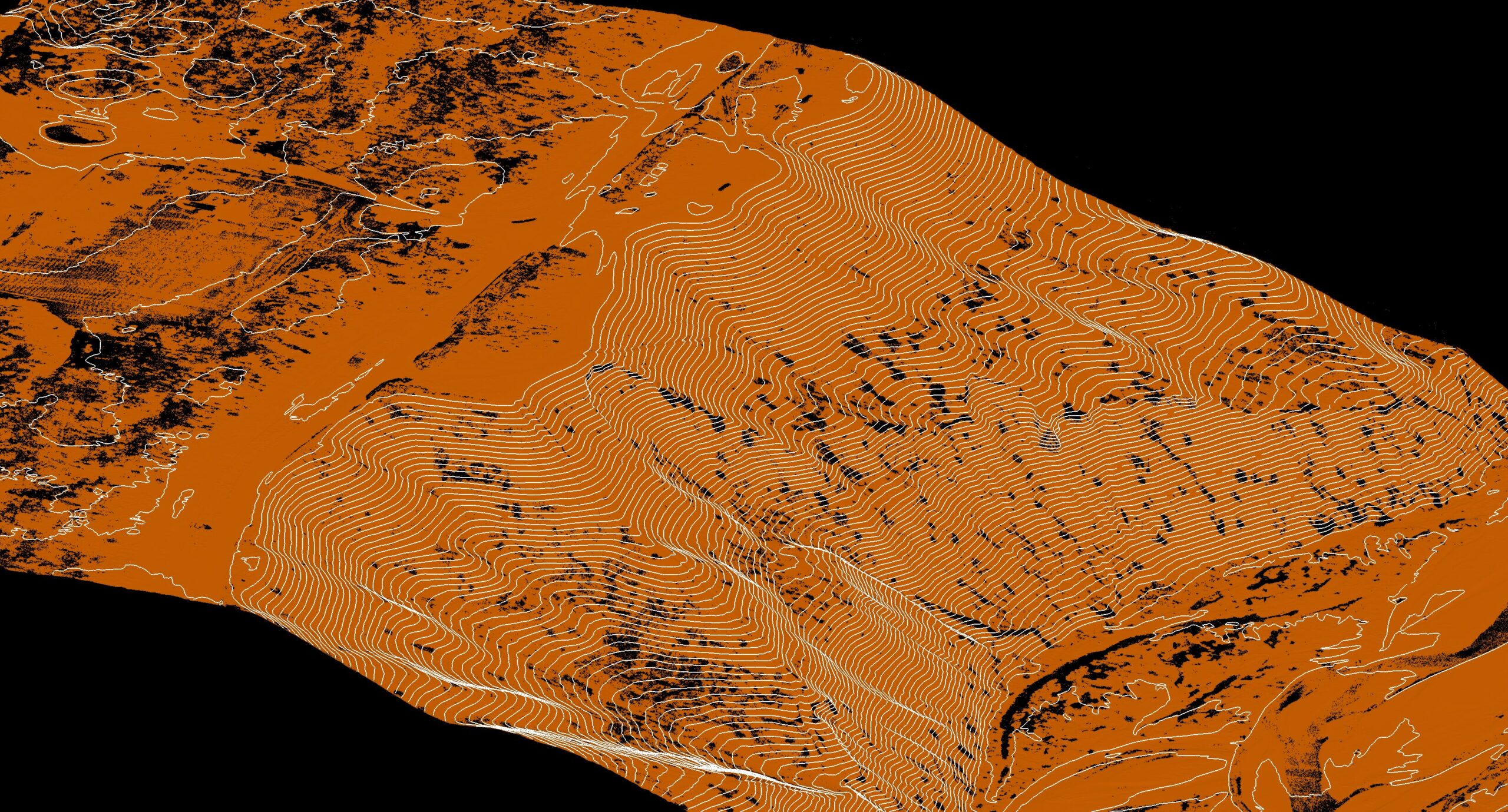
5. Contour Lines
- Description: These include contour lines or other horizontal features derived from the DEM to represent elevation changes at specific intervals.
- Format: Typically provided in vector formats like Shapefile (SHP) or DXF.
- Uses: Helpful for planning, engineering, and understanding terrain contours.
6. Canopy height model
- Canopy Height Models (CHM) depict tree canopy heights derived from elevation data.
7. Data on slope and aspect
- Slope and aspect data measure terrain steepness and orientation derived from elevation models.
For more details or to request specific deliverables, please contact us for further assistance.
Point Cloud Deliverables Samples
