Our Services
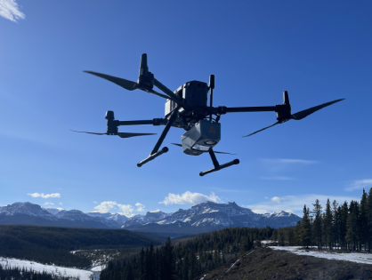
Our LiDAR Surveying capabilities are equally cutting-edge, employing high-end LiDAR scanners that can capture up to 2 million points per second with up to 16 returns. This technology enables the precise measurement of the Earth’s surface, vegetation, and man-made structures, even in densely forested or obstructed areas. The result is highly accurate 3D models and maps that support a wide range of applications, from topographic surveys and infrastructure planning to environmental monitoring and disaster management.
In addition to UAV Mapping and LiDAR Surveying, we specialize in Photomapping. Using cameras with up to 45MP resolution, we create photomaps with an impressive ground resolution of up to 1.5 cm per pixel. These high-resolution photomaps provide detailed, accurate visual representations of the surveyed area, perfect for applications that require precise imagery, such as site inspections, land use planning, and detailed environmental studies.
Our commitment to leveraging the latest in UAV, LiDAR, and Photomapping technology ensures that we deliver exceptional results, tailored to meet the specific needs of your project.
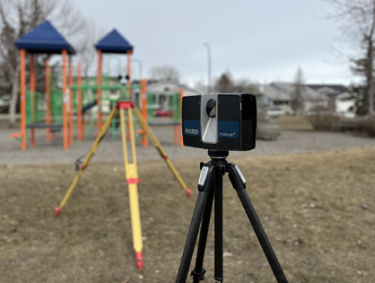
3D Terrestrial laser scanning is a method of capturing the exact size and shape of physical objects using laser beams. This technology generates precise and dense point clouds, creating accurate 3D models of the scanned environment.
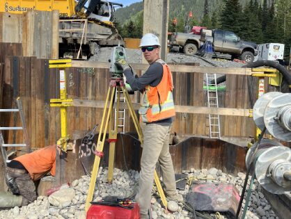
Precise construction surveying ensures that buildings and infrastructure are constructed according to design specifications. Accurate surveying helps avoid costly mistakes, delays, and ensures safety and compliance with regulations.
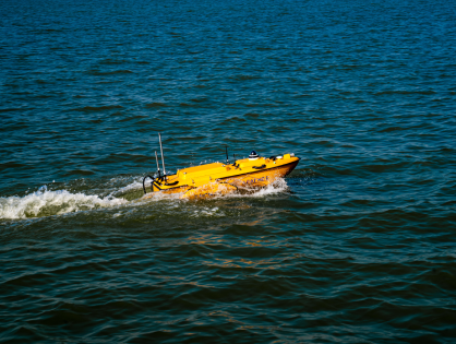
At Convex Geomatics, we specialize in delivering precise bathymetric survey services using advanced single-beam Unmanned Surface Vehicle (USV) technology. Our expertise allows us to map the seafloor and underwater features in remarkable detail, providing high-resolution 3D seafloor maps essential for a wide range of applications, including marine construction, riverbed monitoring, and environmental research.
Our state-of-the-art equipment, combined with our skilled team, ensures the creation of accurate and dependable underwater terrain models. Whether you require depth measurement, underwater topography, or habitat mapping, our comprehensive bathymetric survey services support coastal engineering projects and environmental monitoring, making us your ideal partner in exploring and understanding underwater environments.
Mobile mapping involves collecting geospatial data from a moving vehicle equipped with cameras, LiDAR, and GNSS sensors. This method is ideal for surveying large and complex areas quickly and accurately.
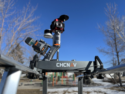
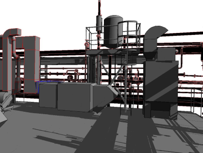
3D modeling involves converting point cloud data, obtained from LiDAR or 3D laser scanning, into detailed and accurate 3D representations of physical objects or environments. These models are essential for visualization, analysis, and planning.
We provide comprehensive LiDAR data processing services to ensure the highest quality and accuracy for your projects.
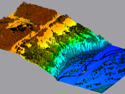
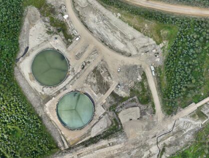
We offer professional photomap and mesh generation services using your provided images.
